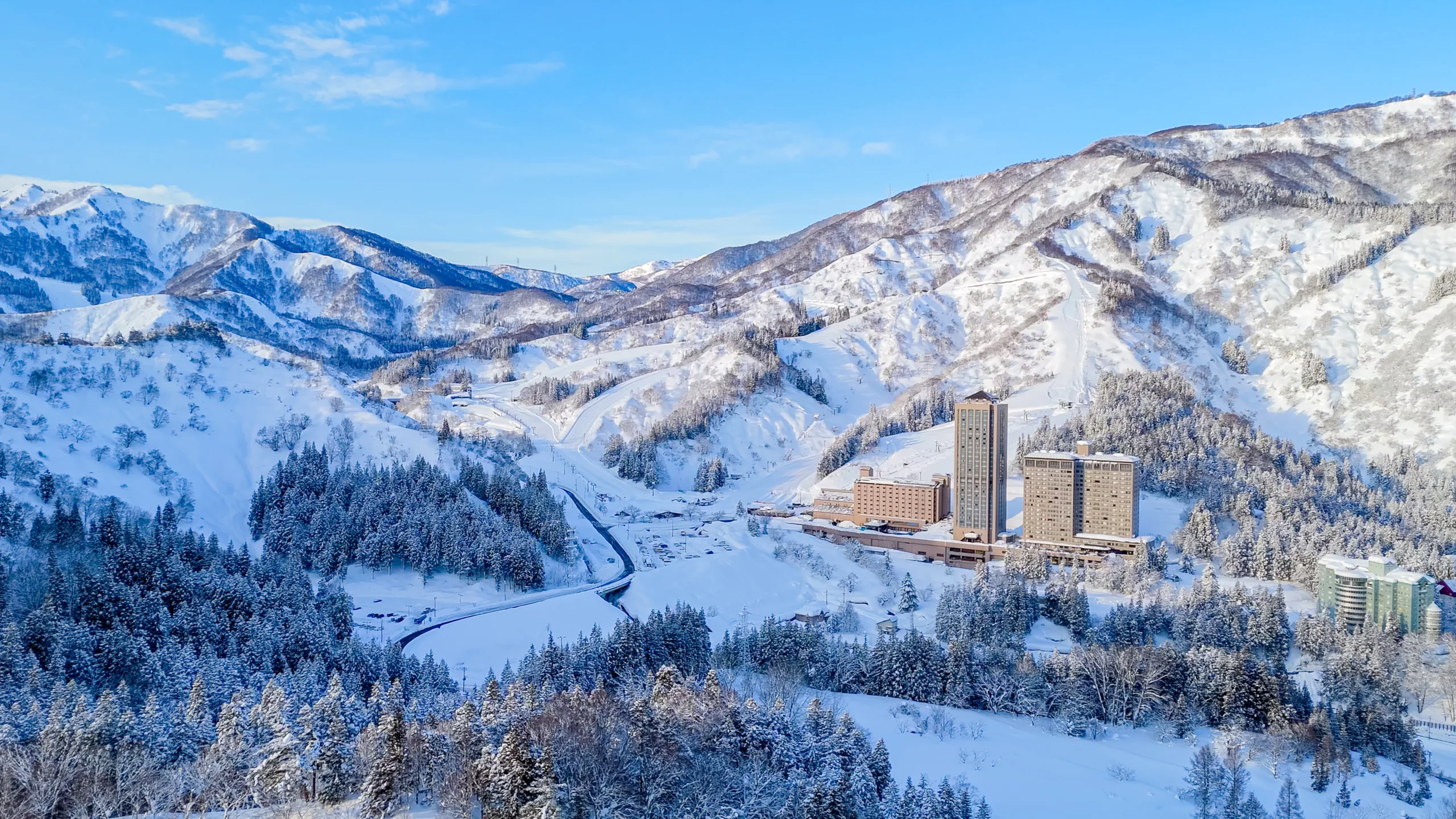
Mt. Tairappyo
平標山・平標登山口
Mt. Tairappyo is a premier hiking destination famed for its vast alpine flower fields and scenic ridgeline trails overlooking the Tanigawa mountain range
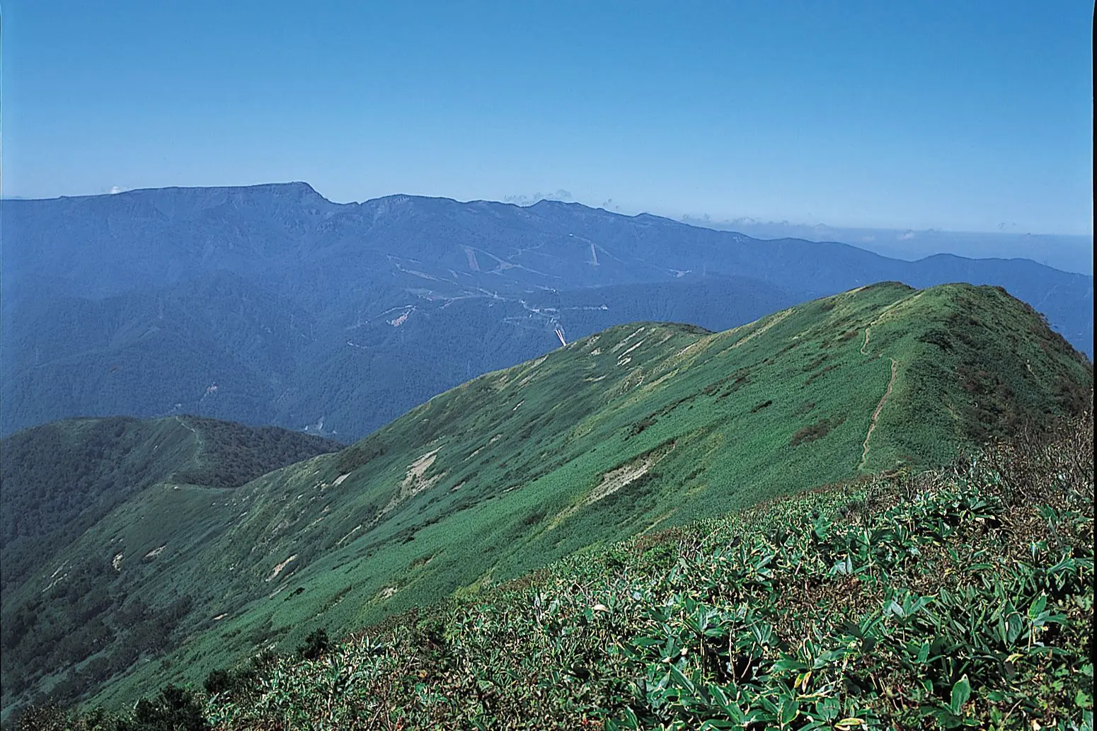
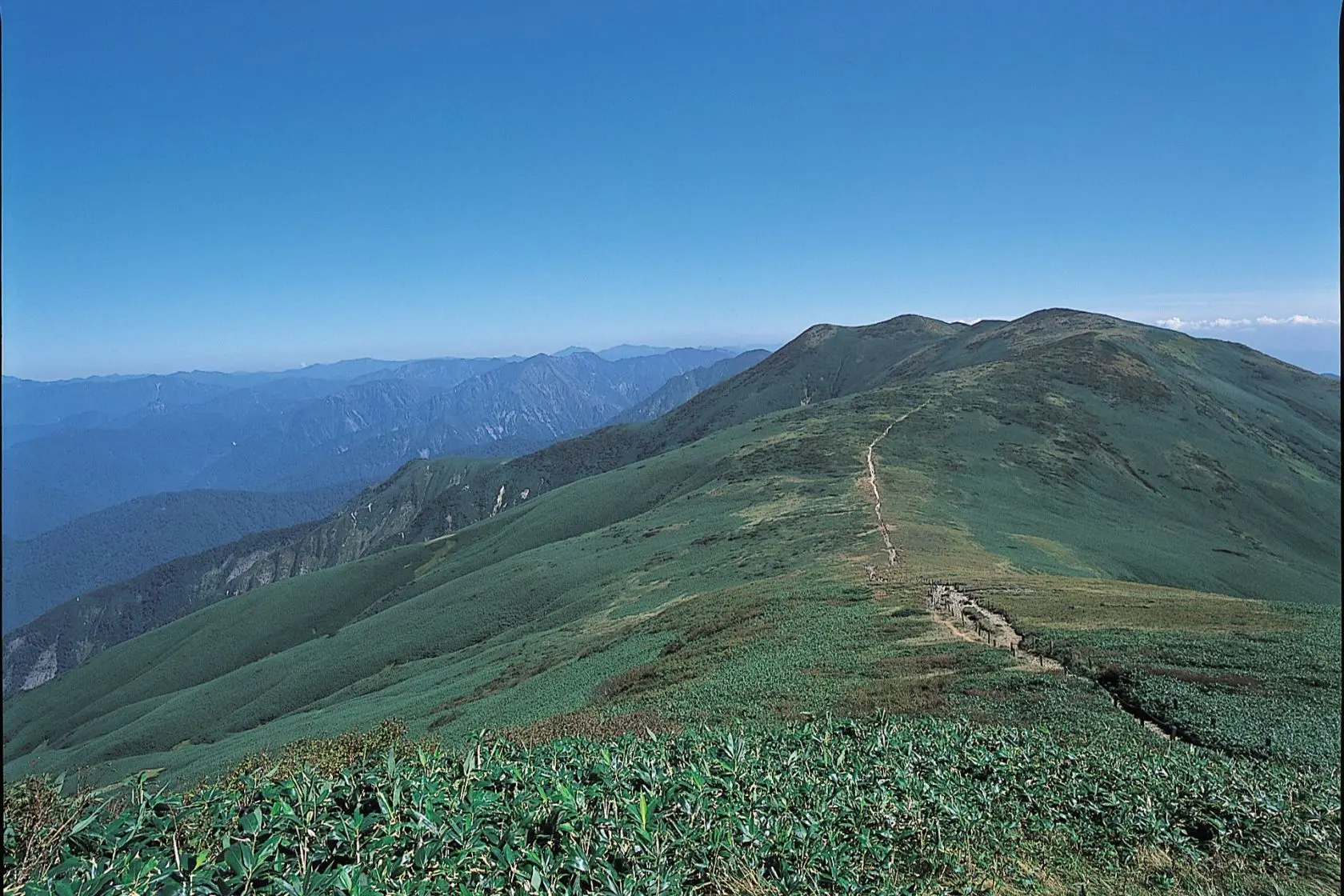
One of Japan's top 100 mountains for wildflowers, the peak is located at the west end of the Tanigawa range. Featuring a cornucopia of alpine plants, the fields of flowers around the summit are a wonder to behold. If you have the energy, the return hike from the summit to Mt. Sennokura (2 hours) is also highly recommended.
●Altitude: 1,983m
●Mountaineering level: Beginner (Starting point: Naeba Fureai no Sato Parking Lot)
●First day of season: N/A
●Climbing season: Mid-May to early November
●Time required: 3 hours to summit
●Mountain hut: Tairappyoyama no Ie
May to October, max capacity 25
Enquiries: Caretaker, 090-7832-0316
General Information
| Address | 新潟県南魚沼郡湯沢町土樽 |
|---|---|
| Directions | ●40 minutes by bus from Echigo Yuzawa Station on the JR Joetsu Shinkansen Line, alight at Tairappyo Tozanguchi |
| Car Park | ●Parking: 150 spaces |
| Contact Name | Tourism and Commerce Section, Industrial Tourism Department, Yuzawa Town |
| Telephone Number | 025-784-4850 |