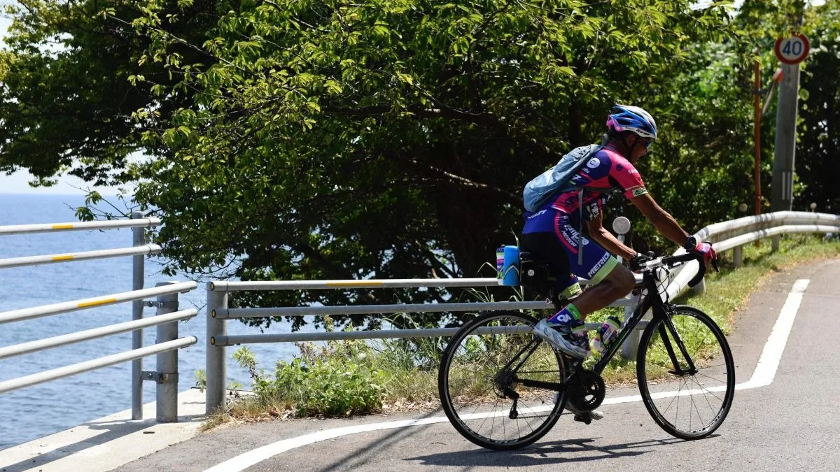
Difficulty: Advanced
Distance: 202.5km
Approximate time required (at an average speed of 15km/h): 13h 17mn
Elevation gain: 2,218m
Highest point: 136m
Starting point: Ryotsu Port
Finish: Ryotsu Port
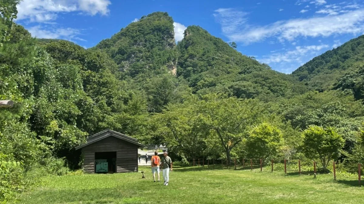
1. Introduction to the route
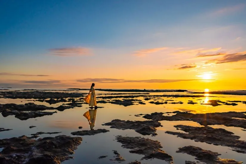
2. Route highlights


3. Useful information
Cycling map
Sado Cycling Map (for intermediate and advanced cyclists) [PDF/8.11MB]
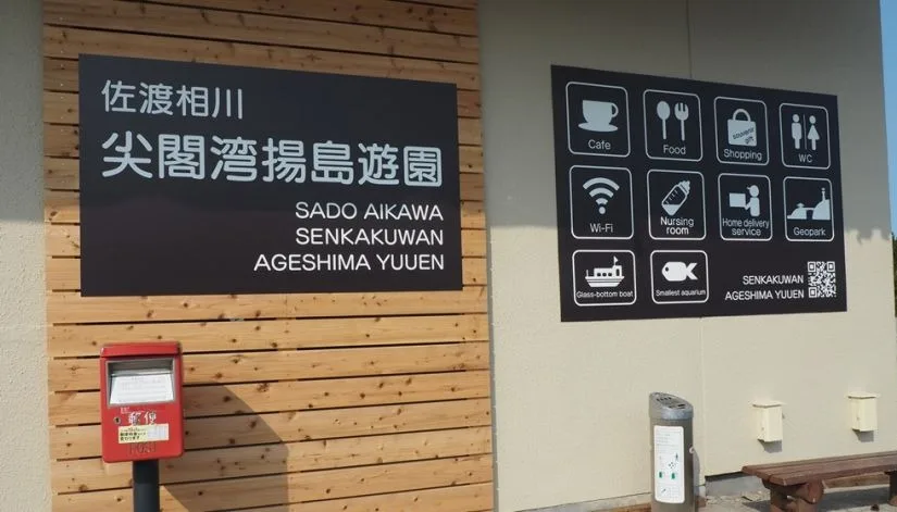
Cycle station
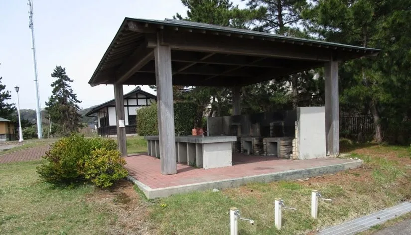
Cycling facilities (bike racks) around Sado’s hotels, restaurants and tourist information centers providing free air pumps and tools for simple repairs.