
NIIGATA TRAVEL STORY
Discover Niigata:
crafted by nature, perfected by time
Niigata Prefecture - Temperate Snow Country
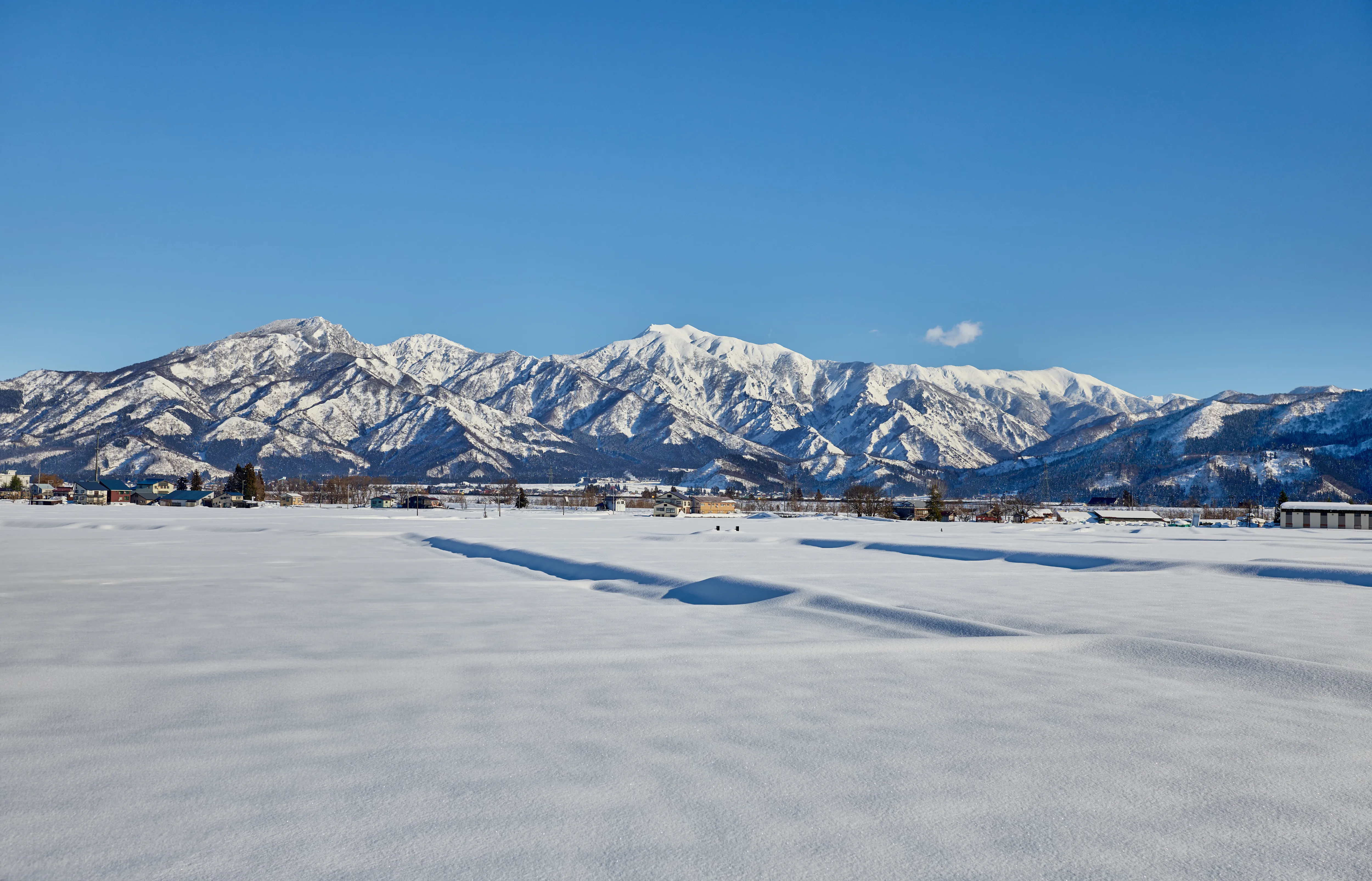
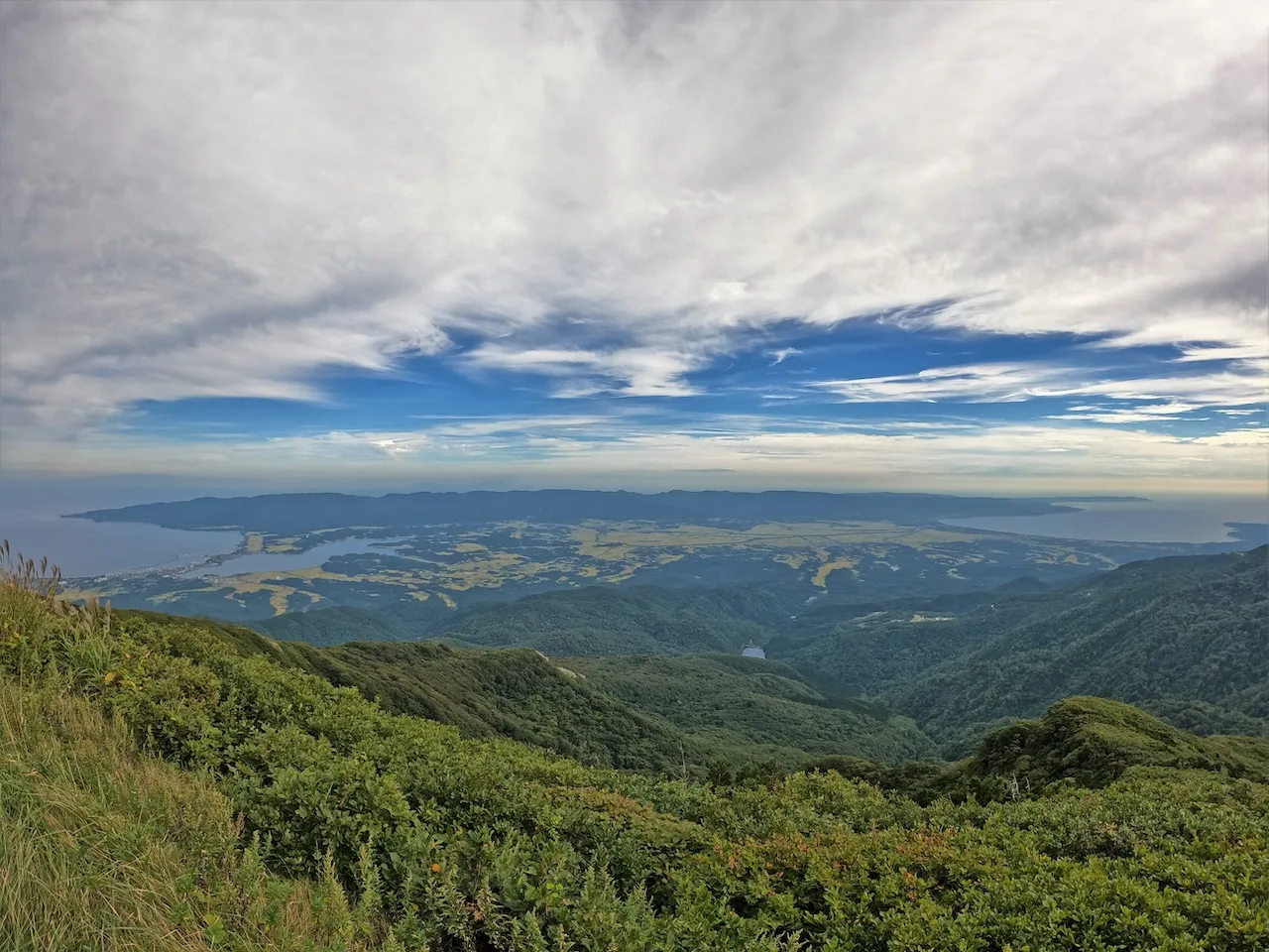
Niigata Prefecture runs along the Sea of Japan coast but is surrounded by mountains: the Asahi Mountains in the north, the Iide and Echigo Mountains in the east, and the Myoko Mountain Range in the west, as well as other mountains that extend toward the Northern Alps. When winter arrives, cold, damp, seasonal winds from the Sea of Japan blow against these mountains, often resulting in heavy snowfalls that can reach meters in height. In summer, on the other hand, hot, humid winds from the south blow down the mountains, generating a "föhn" phenomenon with a succession of hot days. This richly varied contrast has fostered Niigata's unique geographical character and beautiful nature.
Niigata is located at the 37th parallel north, along the same latitudinal line as Lisbon, Sicily, Athens, and San Francisco. But due to its distinctive topography, the variations in its climate are much more pronounced, which amplifies the seasonality during each of its four seasons.
Living with Mountain
Over the epochs, a dramatic landscape of peaks and valleys emerged
Three million years ago, the Japanese archipelago began another great transition.
Until then, the Philippine Sea Plate had been sliding northward under Japan, but it suddenly changed direction and began to move northwest. This forced the Japan Trench to begin moving westwards. Because of these changes, the entire Japanese archipelago entered an era of intense tectonic activity.
Shaped by cataclysmic forces, pressure from the east—driven by the westward shift of the Japan Trench—gave rise to Niigata's dramatic landscape. Mountains rose, and basins sank, forging a land of striking contrast. Thus, the region took form: a rhythm of highlands and lowlands, where the Higashikubiki Hills, Uonuma Hills, and Echigo Mountains rise tall beside the broad Echigo Plain, and the Tokamachi and Muikamachi Basins.
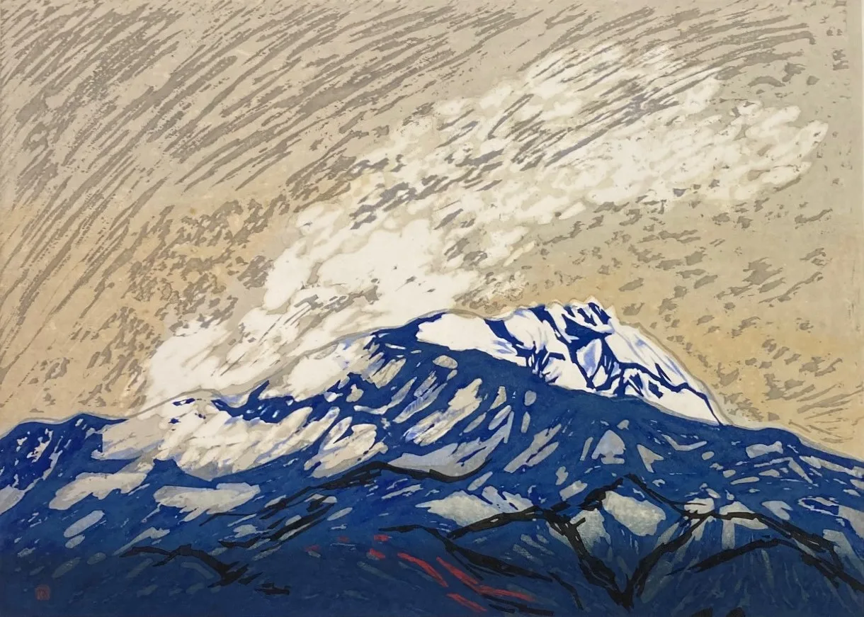
In addition to these violent tectonic movements, repeated periods of intense volcanic activity occurred in the Echigo and Myoko Mountains, creating Niigata's high mountains, such as the iconic peak of Mt. Myoko.
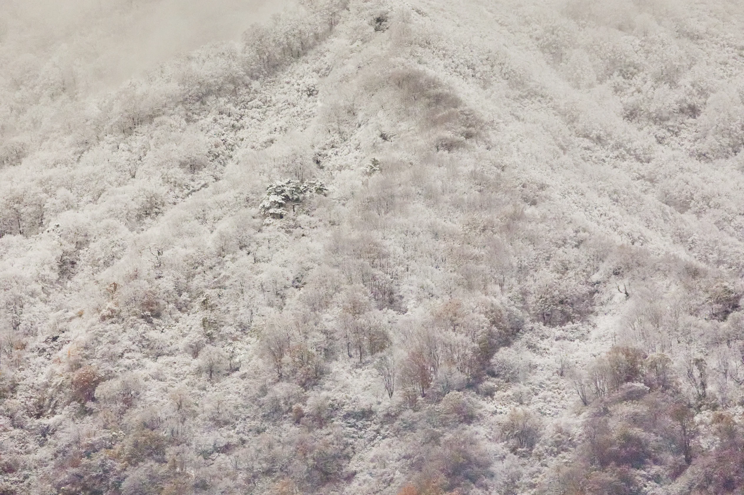
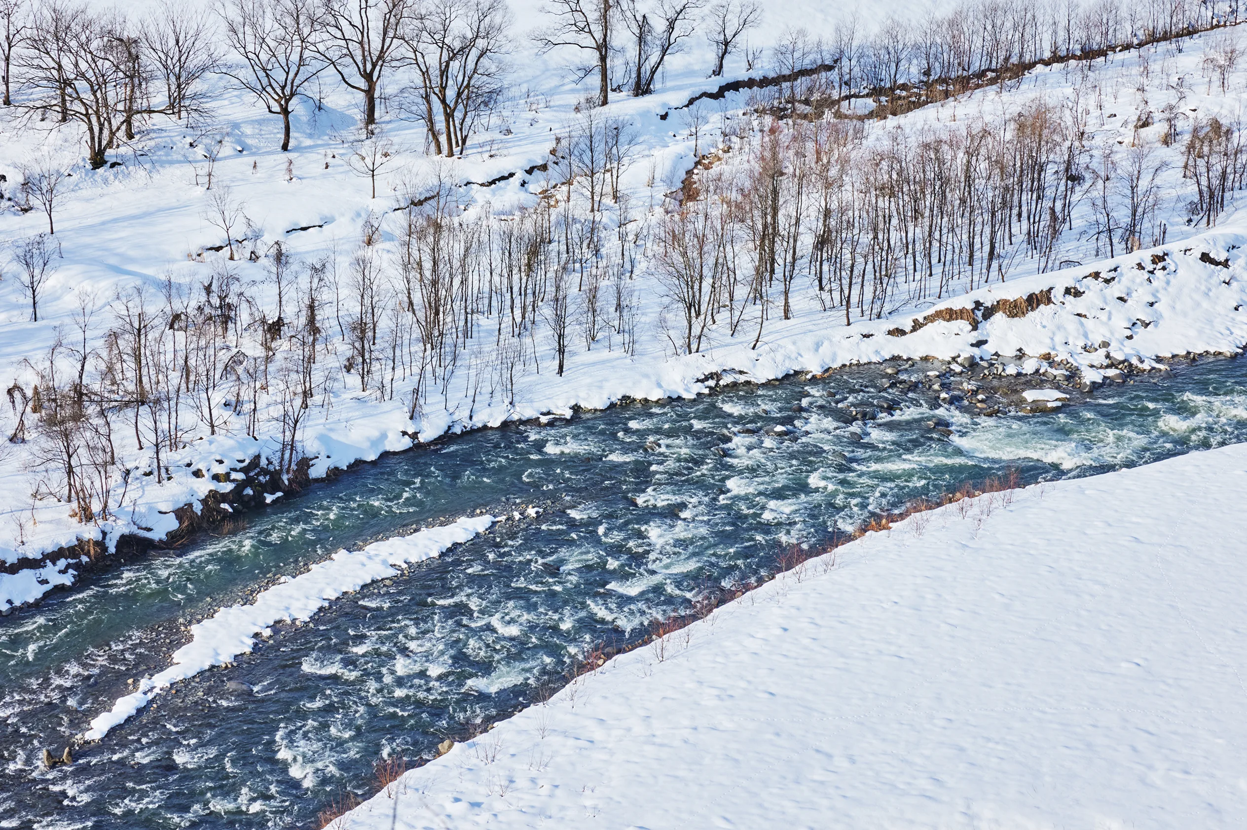
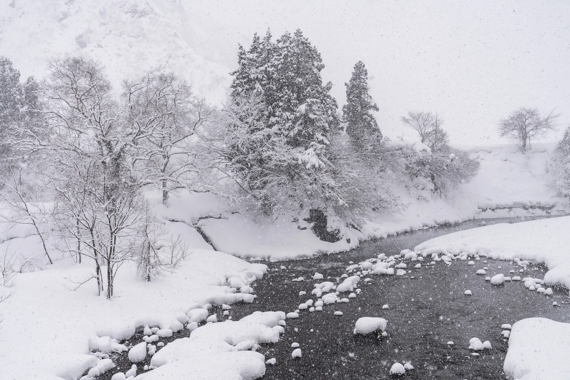
Abundant snows generated by titanic mountain fortresses
When the cold, wet seasonal winds blow in from the Sea of Japan and hit the mountain ranges, they become updrafts, cooling in the upper atmosphere where they eventually produce snow clouds. This causes vast amounts of snowfall along the mountains, sometimes accumulating up to three meters in some areas.
This climate came to symbolize Niigata and gave birth to the name Snow Country.
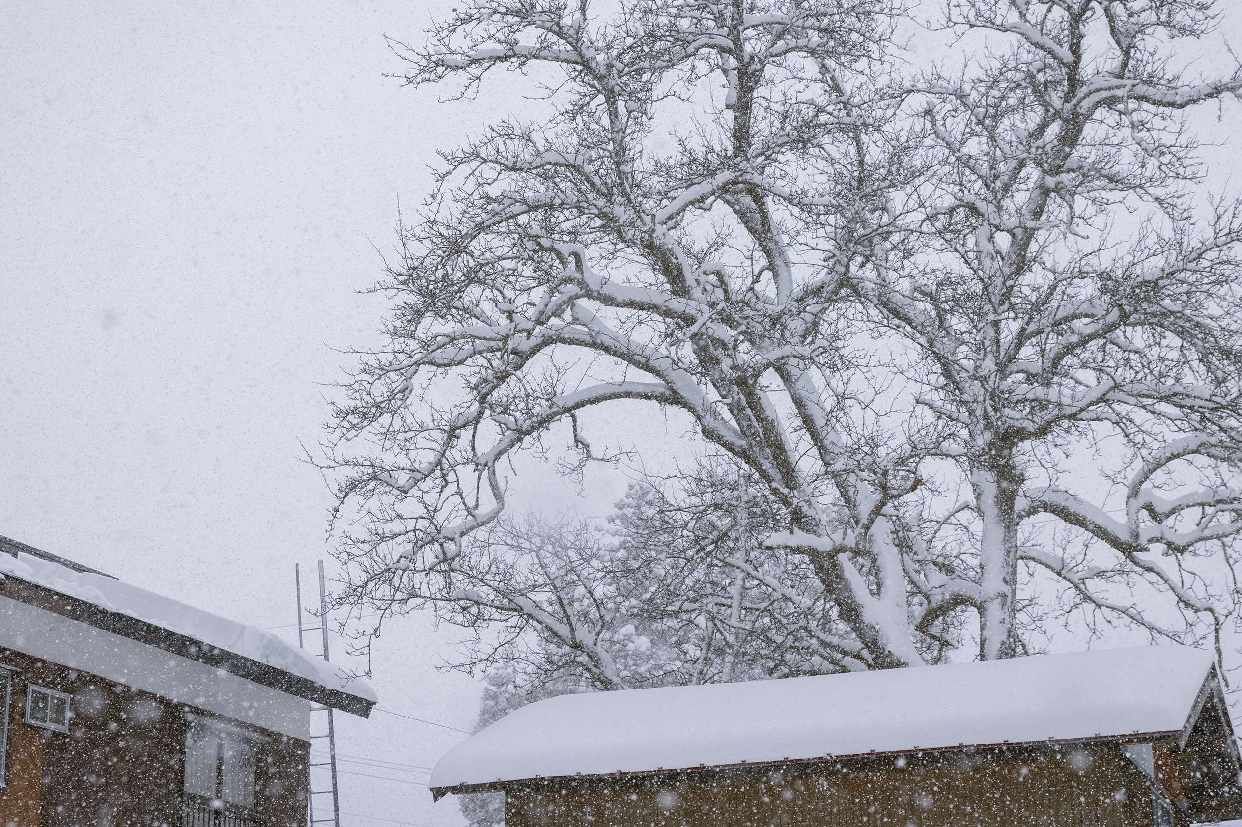
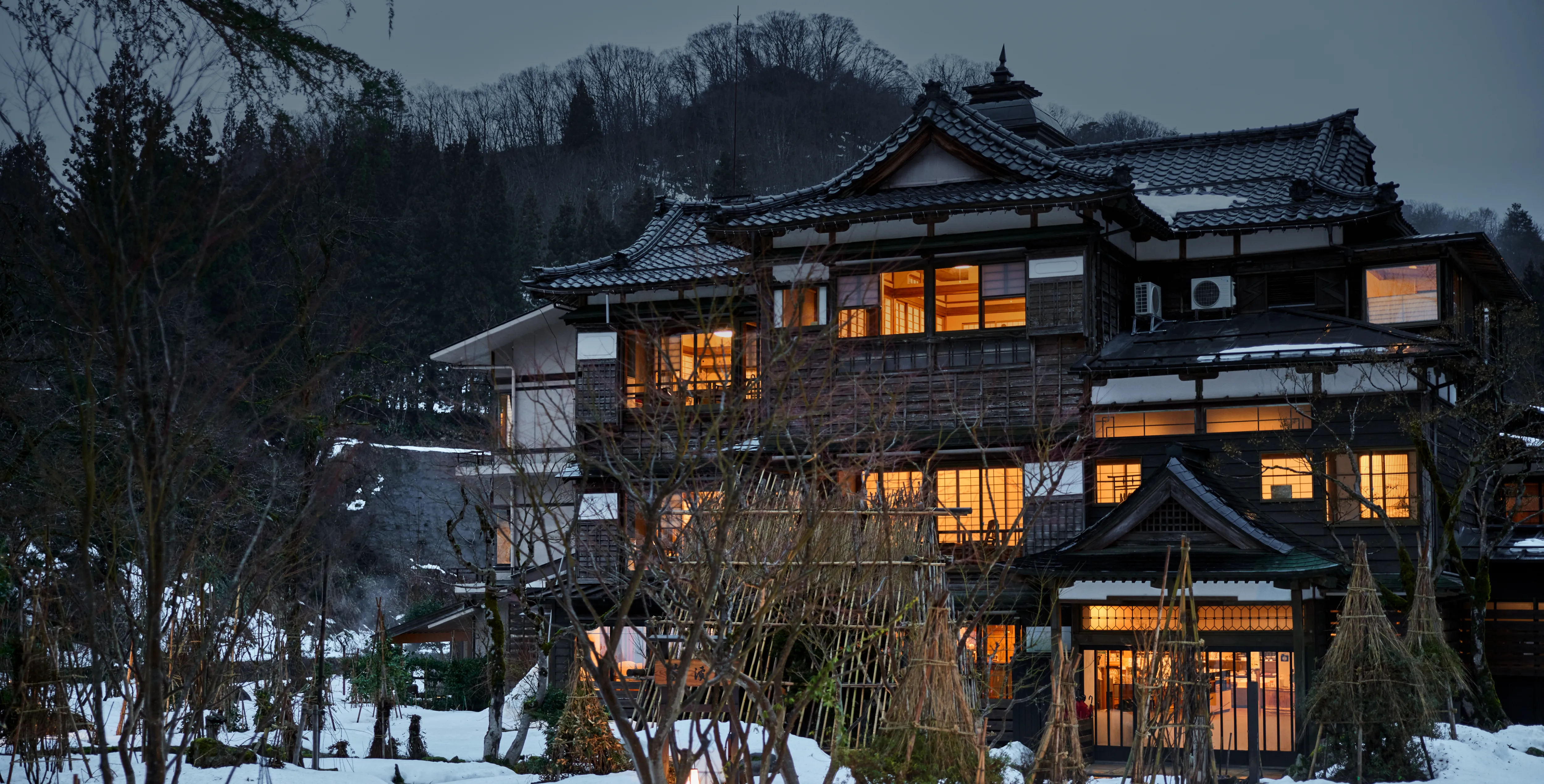
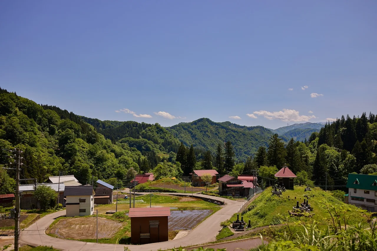
An existence defined by snow
In the mountainous areas of Niigata where snowfall is particularly deep, snow begins to fall around November each year and lasts for nearly six months. During these months, the whole region becomes a silvery world, enveloped in silence.
Even though snow blankets the land for nearly half the year, residents have not merely endured itーthey've met its severity with resilience, turning hardship into resourcefulness. Embracing the harsh climate, they've not only found ways to live with the snow, but to live from it and remain rooted in this land in harmony with the seasons.
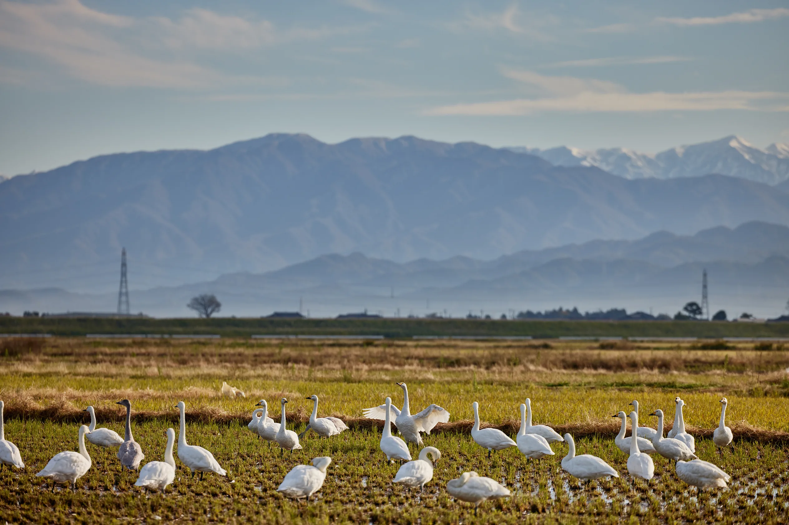
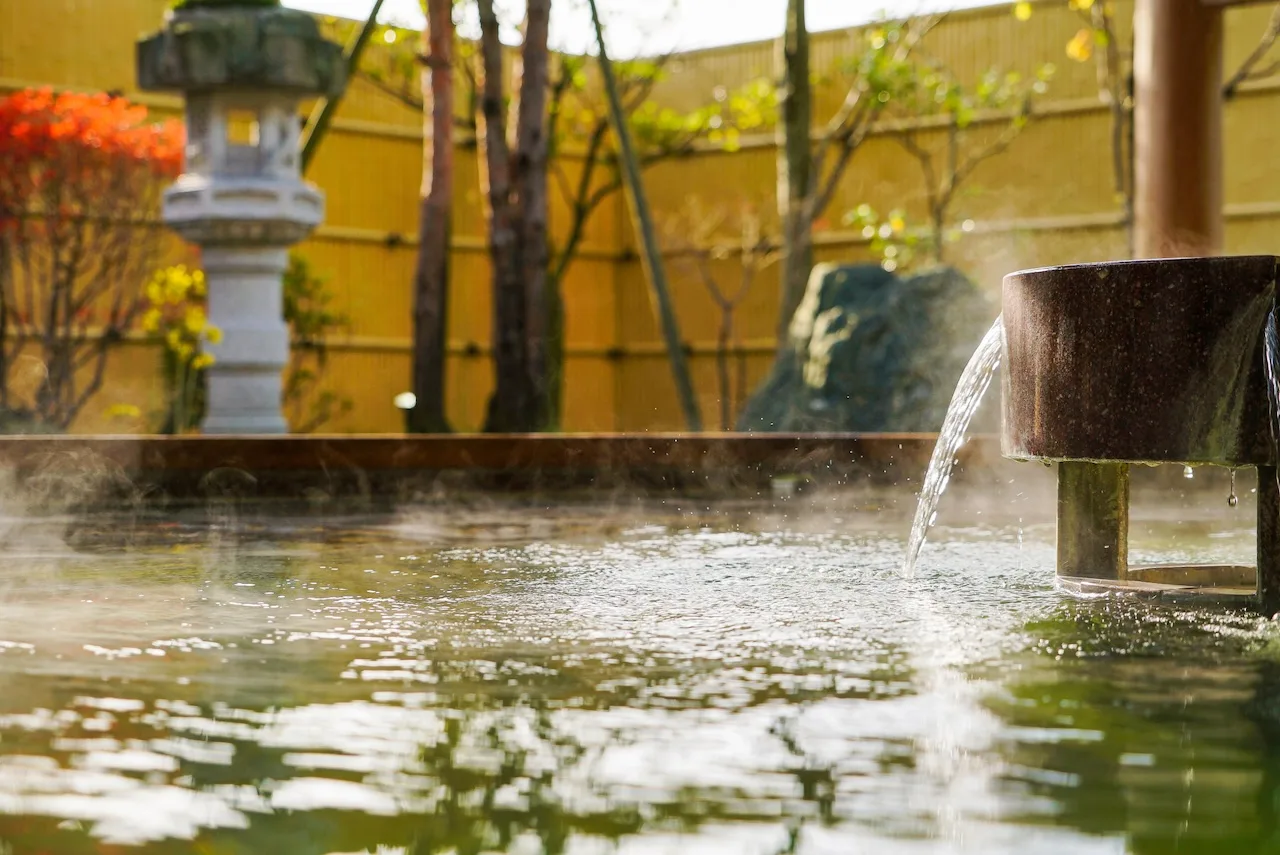
Meltwater that gushes forth and sustains life
The vast amounts of snow which accumulate over the winter begin to slowly melt once spring arrives and eventually flow down the mountain slopes.
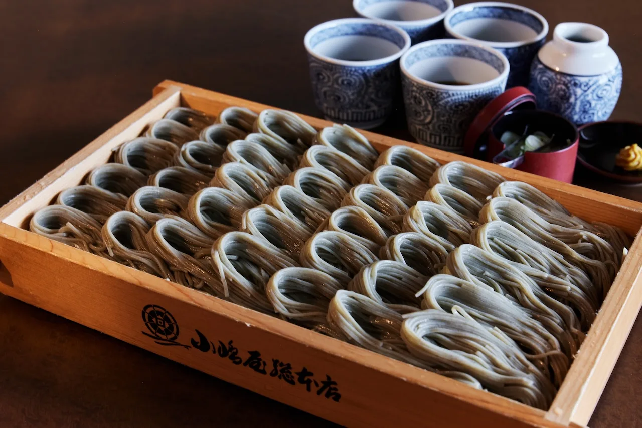
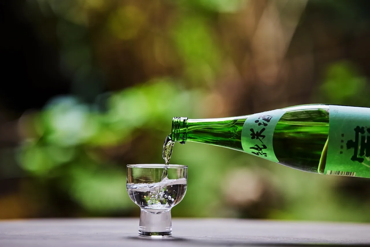
This water fills the rivers, dampens the earth, and eventually soaks the ground below. This nutrient-rich snowmelt becomes the lifeline which sustains the land of Niigata. It supports the region's famous rice cultivation and sake brewing and remains the singular source which continues to protect the beautiful natural environment.
Living with Rivers
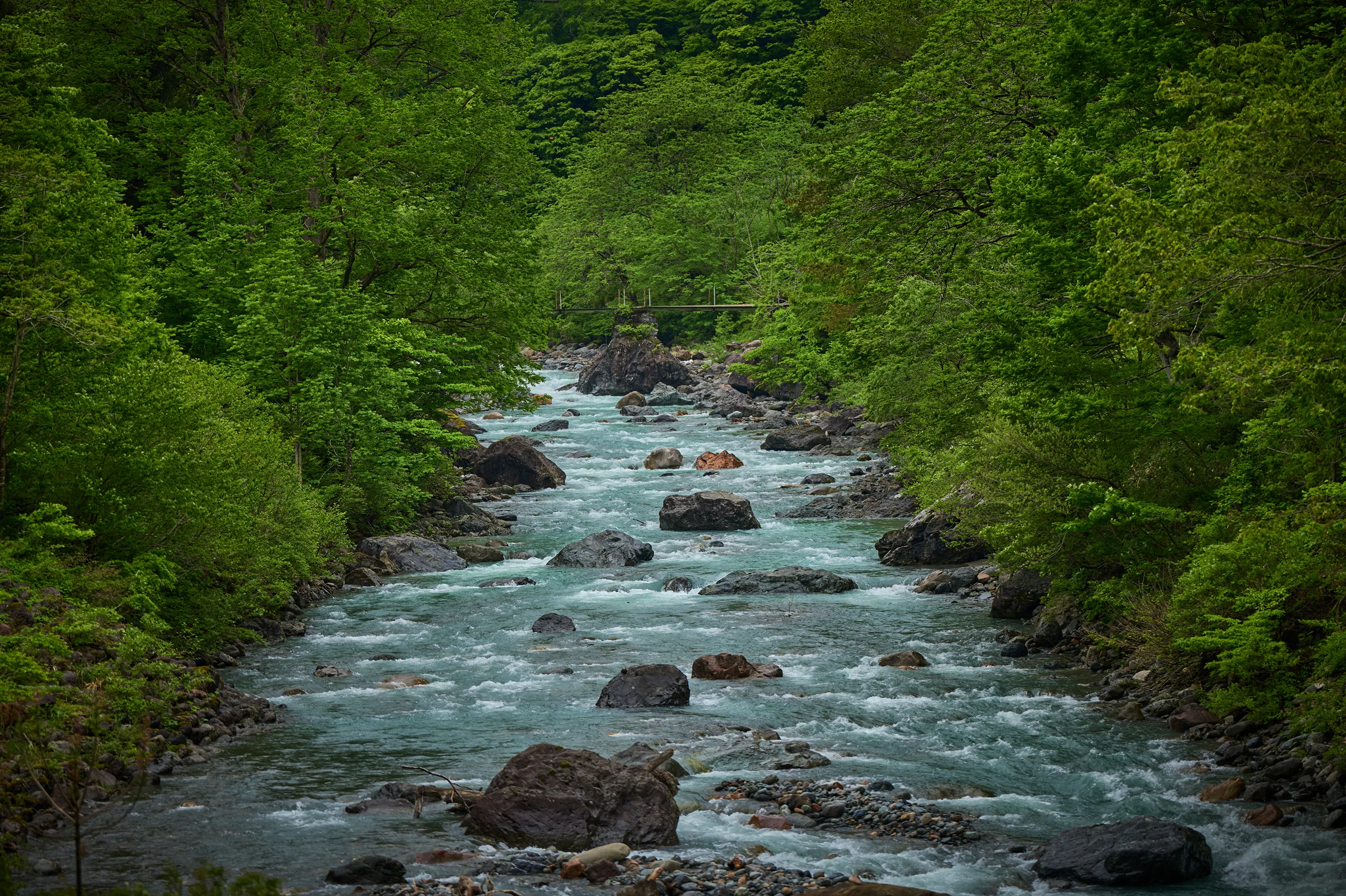
Japan's mightiest rivers, fuelled by abundant snowfall
When the snowbound winter ends, the snow which blanketed the mountains gradually begins to melt. The meltwater cascades down the valleys, sending up a thunderous roar and dampening the earth as it flows.
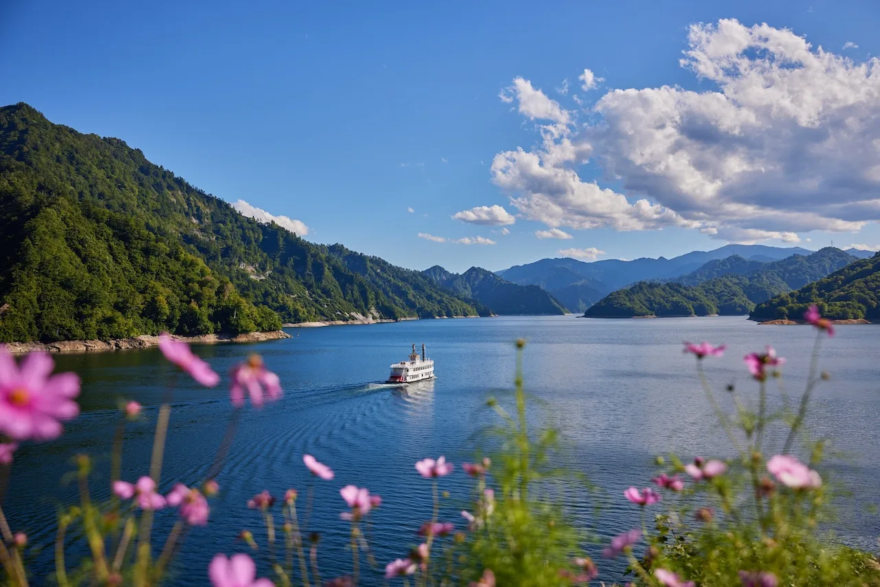
Over the years, this abundant meltwater turned into large rivers and carved out valleys and gorges as it flowed into the Echigo Plain. One of these is the Shinano River, running a total length of 367 kilometers, the longest in Japan. The river, which begins in Nagano Prefecture and flows from the Tokamachi Basin into the Echigo Plain, is a symbol of Niigata Prefecture, bringing abundant blessings. Another is the Agano River, which flows through the Echigo Mountains, and is one of Japan's largest in volume, with a total annual flow of around 13.2 billion m3.
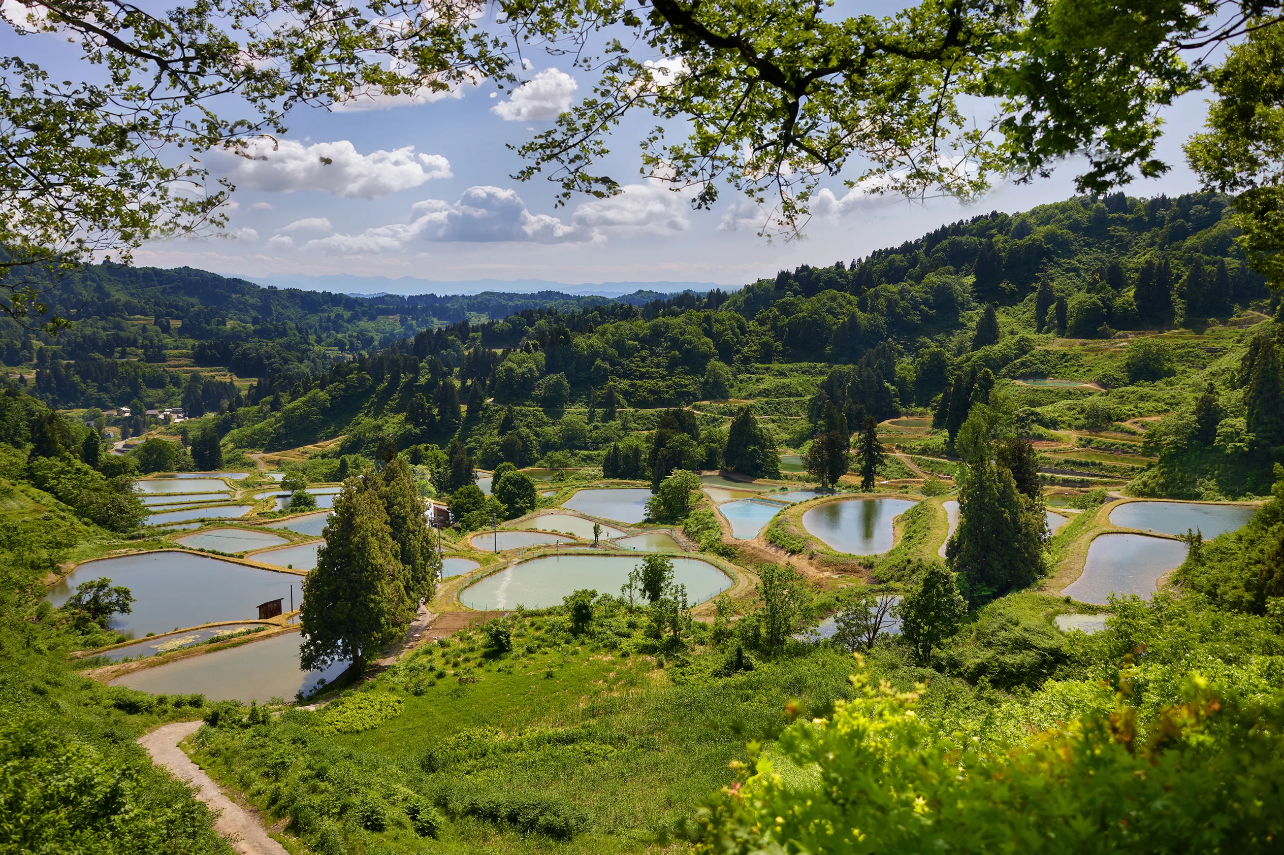
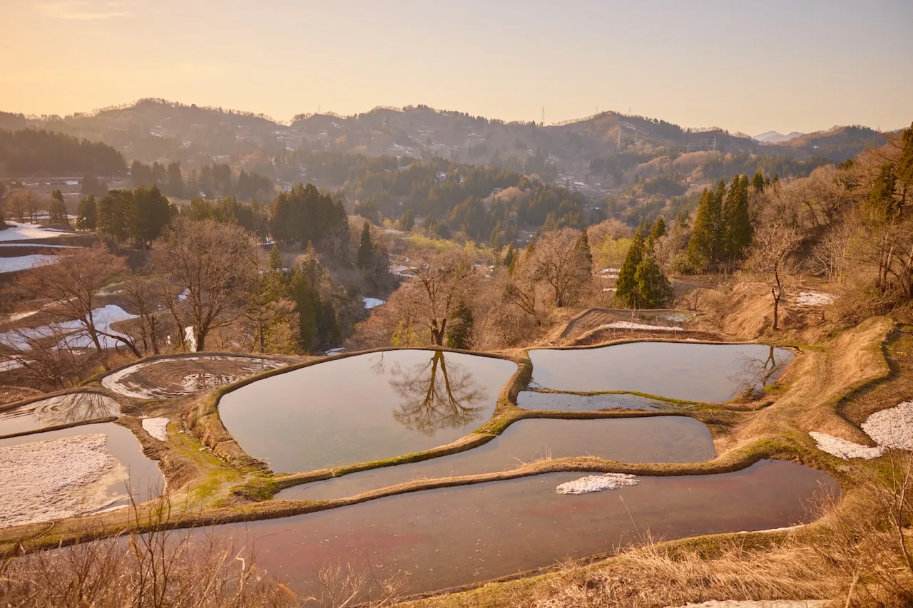
Terraced rice fields, sustainers of life in the mountain villages
The terraced rice paddies, which are filled exclusively with meltwater and rainwater from the mountains, are a precious means of rice cultivation in Niigata's mountainous areas.
The Yamakoshi and Ojiya regions are dotted with numerous tanaike (shelf ponds) where colorful Nishikigoi carp (koi fish) are raised in the terraced rice paddies. The clear mountain water nurtures both the rice grown in these beautiful, terraced fields and the world-famous fish.
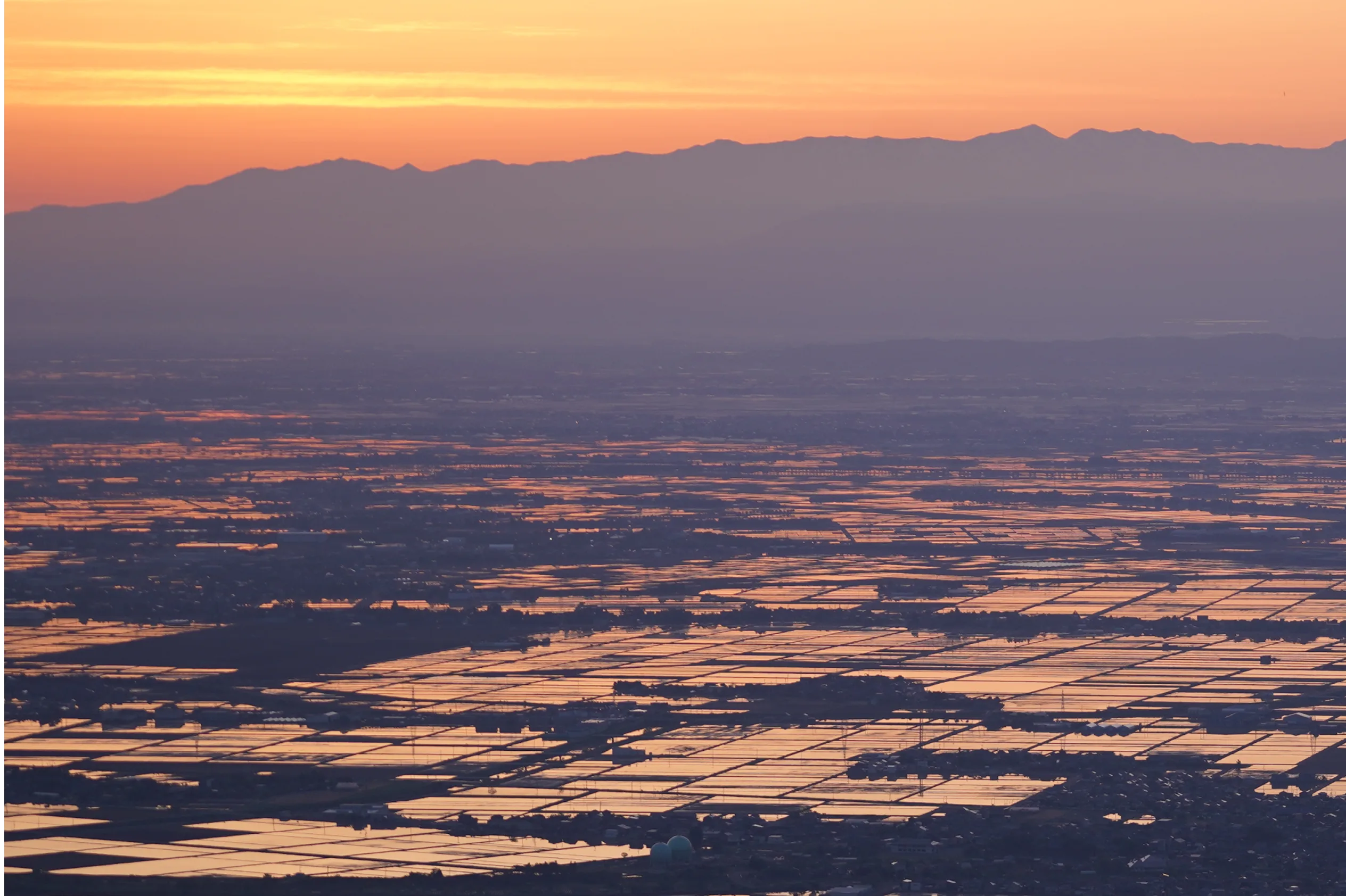
Fertile land nourished by great cascading rivers
During Japan's Jomon period around 6,000 years ago, the area around Niigata City lay submerged under shallow seas. This area, including Niigata City, is one of the most prone to ground subsidence in all of Japan, and has sunk by as much as 20 meters over the past 5,000 years.
However, as large rivers like the Shinano and the Agano carried large amounts of sediment, the sea in the subsiding area became gradually filled in, and the vast Echigo Plain was born.
When spring arrives, the snow on the mountains turns into meltwater rich with the nutrients of the forests and eventually trickles down to irrigate and fertilize the plain. This turned the Echigo Plain into one of the main granary regions of Japan, sustaining the nation's food supply.
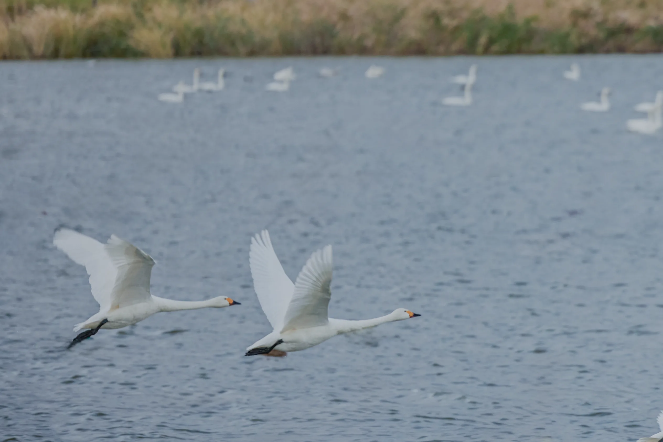
Rich biodiverse lagoons nursed by snow-fed waterways
The character 潟, pronounced "kata" and meaning "lagoon", is said to be the origin of the placename Niigata (新潟). The lakes and marshes which have dotted the Echigo Plain since ancient times came to be called "kata". Even today, various lagoons, both large and small, spread across the region surrounding Niigata City.
These lagoons are the remnants of a geologic battle, forged by tectonically-forced sinking land and the accumulation of sediment carried by the great rivers. The dynamic created a vast wetland, which remains today a precious treasure trove of biodiversity that's a thriving sanctuary for insects. amphibians, and migratory waterfowl.
Yet for those who sought to grow rice here, these wellands were also battlegrounds. The fight was not just to plant, but to drain, and the land's abundance was a result of relentless human effort. Behind the Echigo Plain's rise as Japan's leading rice-producing region lies this long and quiet struggle between people and the water-bound world of the kata.
Living with Sea

Diverse marine life and abundant seafood created by Earth's movements
The water which flows off the mountains carries nutrients from the forests to the sea, nurturing phytoplankton, which form the foundation of the marine ecosystem. Moreover, when the Tsushima Current flowing through the Sea of Japan off Niigata's coast hits Sado Island, the nutrient-rich deep-sea water surges upwards, stimulating the plankton to multiply.
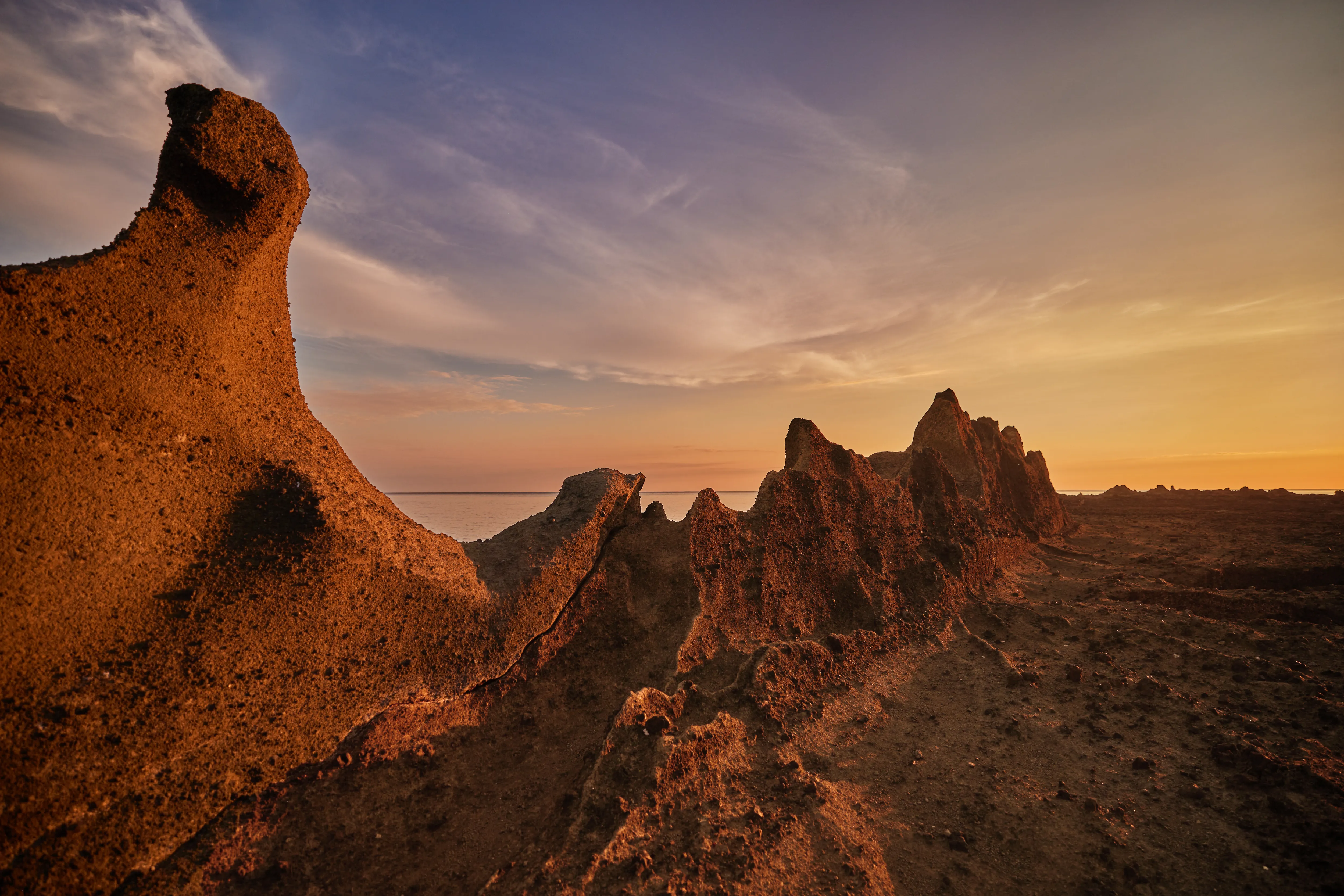
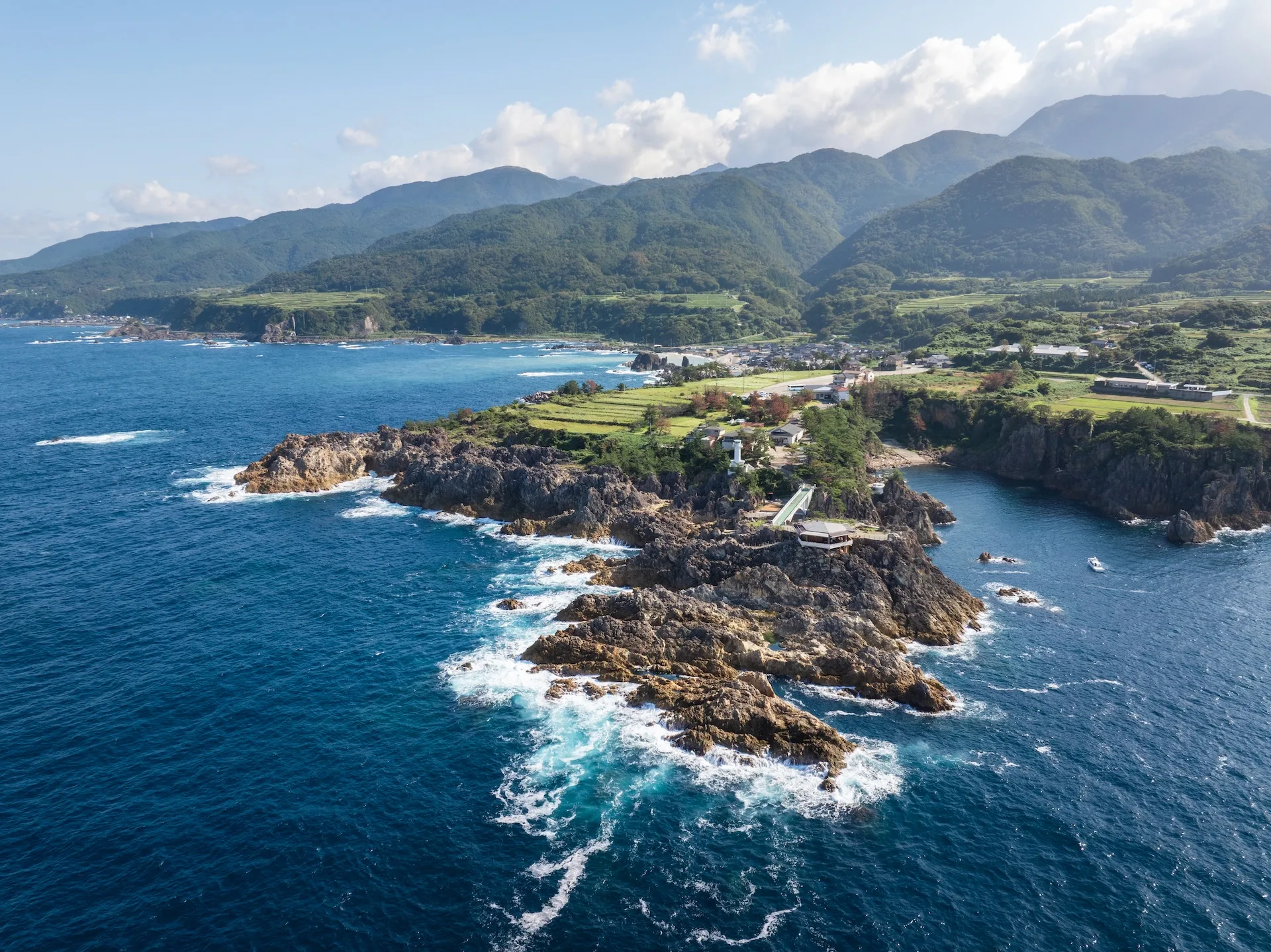
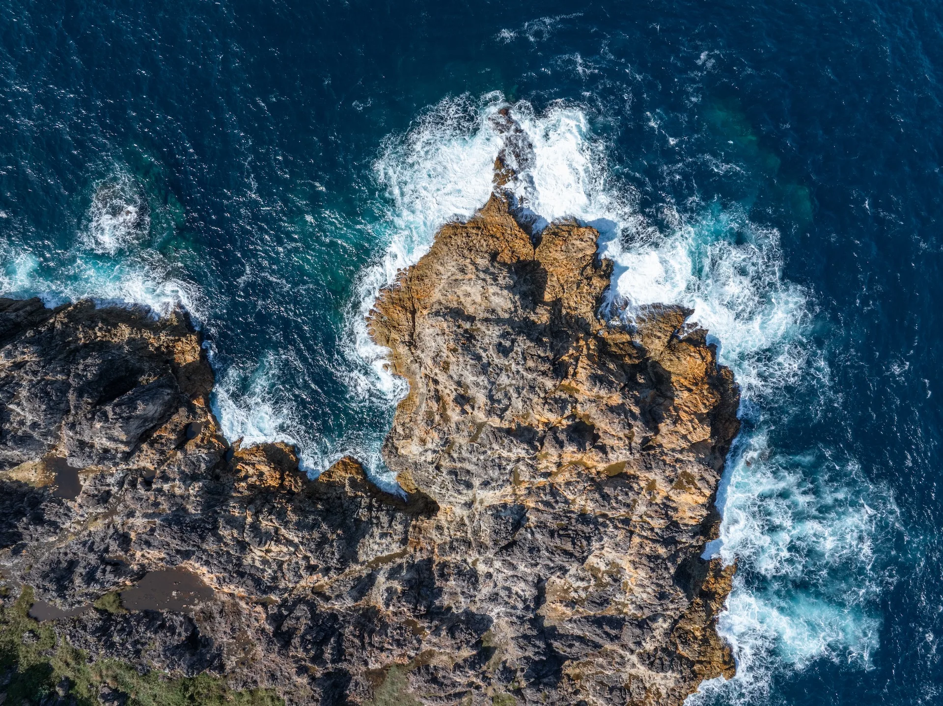
Sado Islands and Oyashirazu Coast, which continue to rise from subterranean tectonic forces, have developed rocky shorelines, where seaweed proliferates and shellfish thrives.
The Sea of Japan, formed by a rupture in the Earth, plunges deeply right offshore, resulting in a rare expanse of deep sea just off the coast. This has created the perfect ecosystem for deep-sea marine life and shellfish like red snow crab while sediment from the Shinano and Agano Rivers gave birth to a large underwater alluvial fan off the coast of Niigata, teeming with sea life like rosy seabass which live on the seabed.
It is this geology and topography, caused by the natural movements of the planet, that transformed Niigata into a prosperous fishing ground that is home to a rich and abundant variety of seafood.
The bounty of the ocean is nurtured by Niigata's ever-undulating terrain and the tectonic shifts rumbling under the Sea of Japan
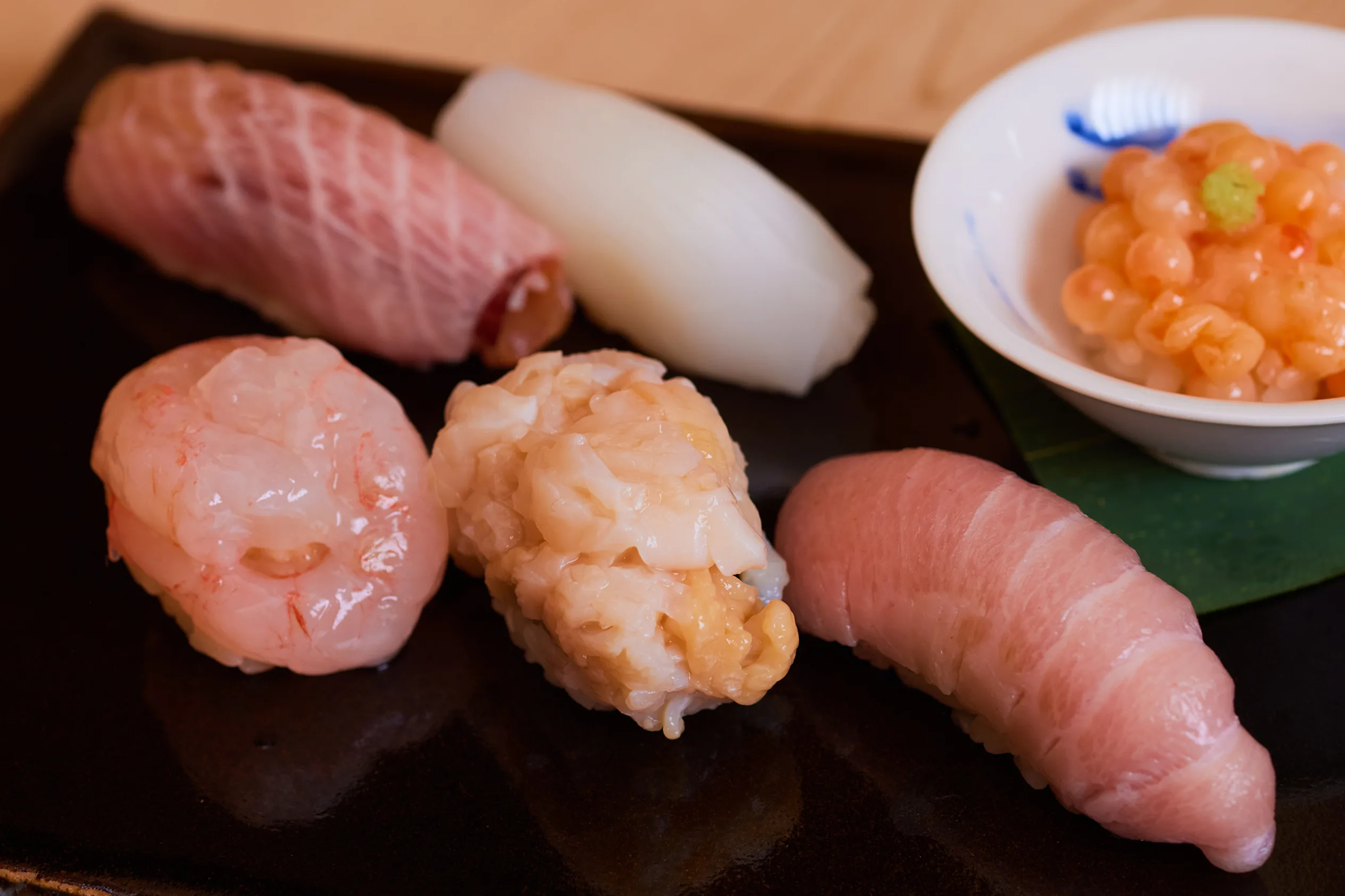
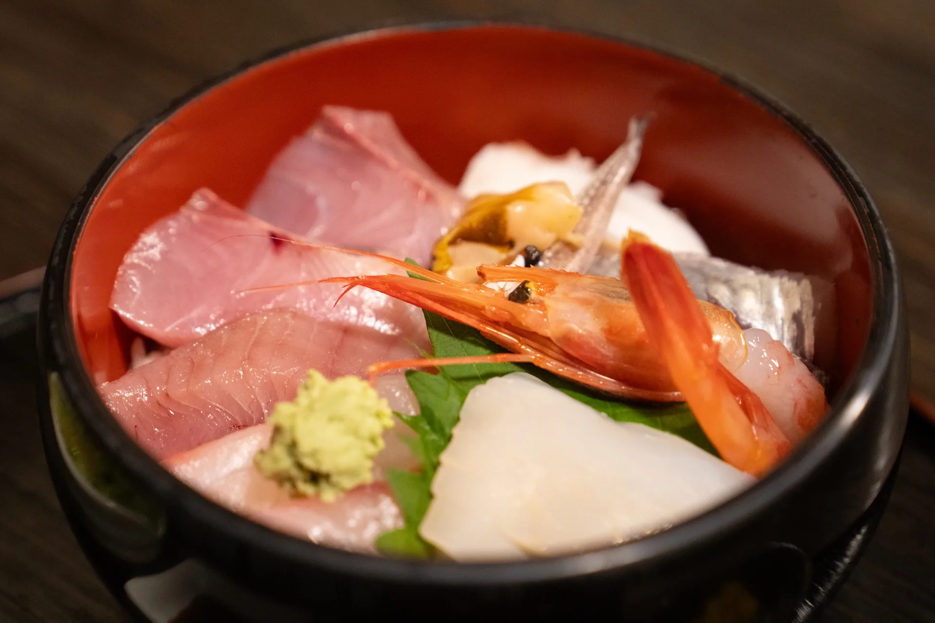
Niigata Prefecture has a coastline that stretches for 635 kilometers and plays host to more than 600 marine species making it a veritable smorgasbord of seafood, including such delicacies as yellowtail, sea bream, blackthroat seaperch, snow crab, sweet shrimp, and many others caught throughout the year.
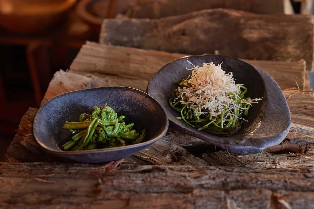
A wide variety of seafood-based dishes made with fresh ingredients, including sushi, grilled fish, and simmered dishes, have deep roots in the local food culture.
Sado Island - Born from the Sea
Sado Island is also called "Butterfly Island" because of its shape, which resembles a butterfly with outstretched wings. The foundation of Sado Island is made up of the same rocks and strata found on the Asian continent. When the Japanese archipelago separated and moved away from the Asian continent between 15 and 20 million years ago, the Sea of Japan was born in the gap between it and the continent. During this turbulent period, Sado Island had been lying at the bottom of the sea, but it emerged above water when tectonic movements that began 3 million years ago compressed the seabed from east and west sides.This was the archetype of Sado Island. At first, Sado was two islands, Osado (Greater Sado) and Kosado (Lesser Sado). But over time, sediment from both islands filled in the gap, fusing the two into one,
These enormous geological cataclysms created Sado Island's distinctive topography, geology, and climate.
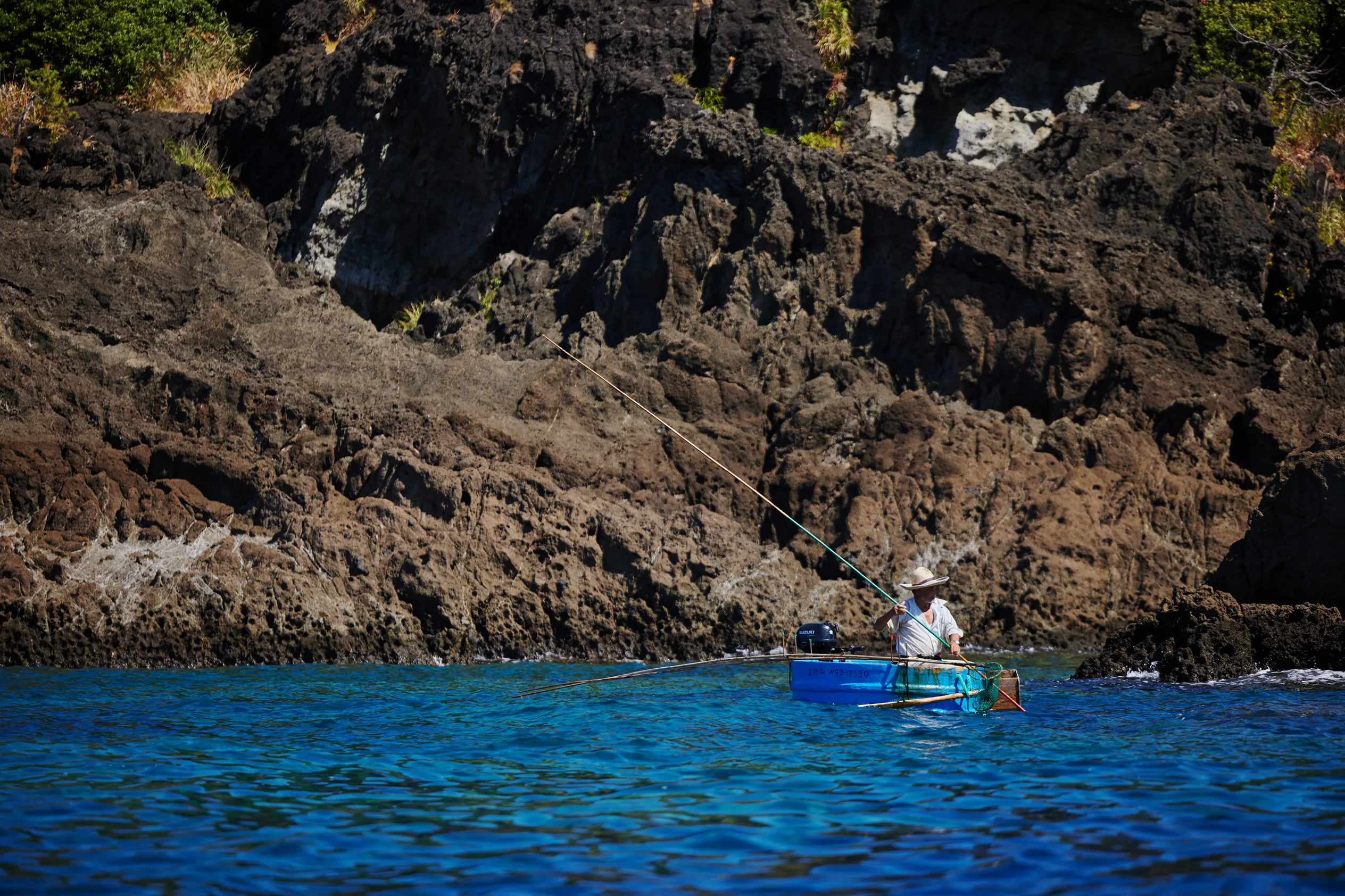
Rising waters after an earthquake led to local innovation and ingenuity, allowing fishermen to access smaller and harder-to-access coves
On the Ogi Peninsula of Sado Island, fishing for shellfish and seaweed used to be done using small boats. However, the 1802 Sado Ogi Earthquake caused the coastline to rise by approximately two meters, creating many shallow coves and making it difficult to fish using conventional boats. This led to the creation and rise of tarai bune (tub boats), also known as hangiri. These boats were more maneuverable, could pivot in a small radius, and were used to fish in shallower, narrower coves. Fishing for turban shells and abalone developed through the use of these boats.
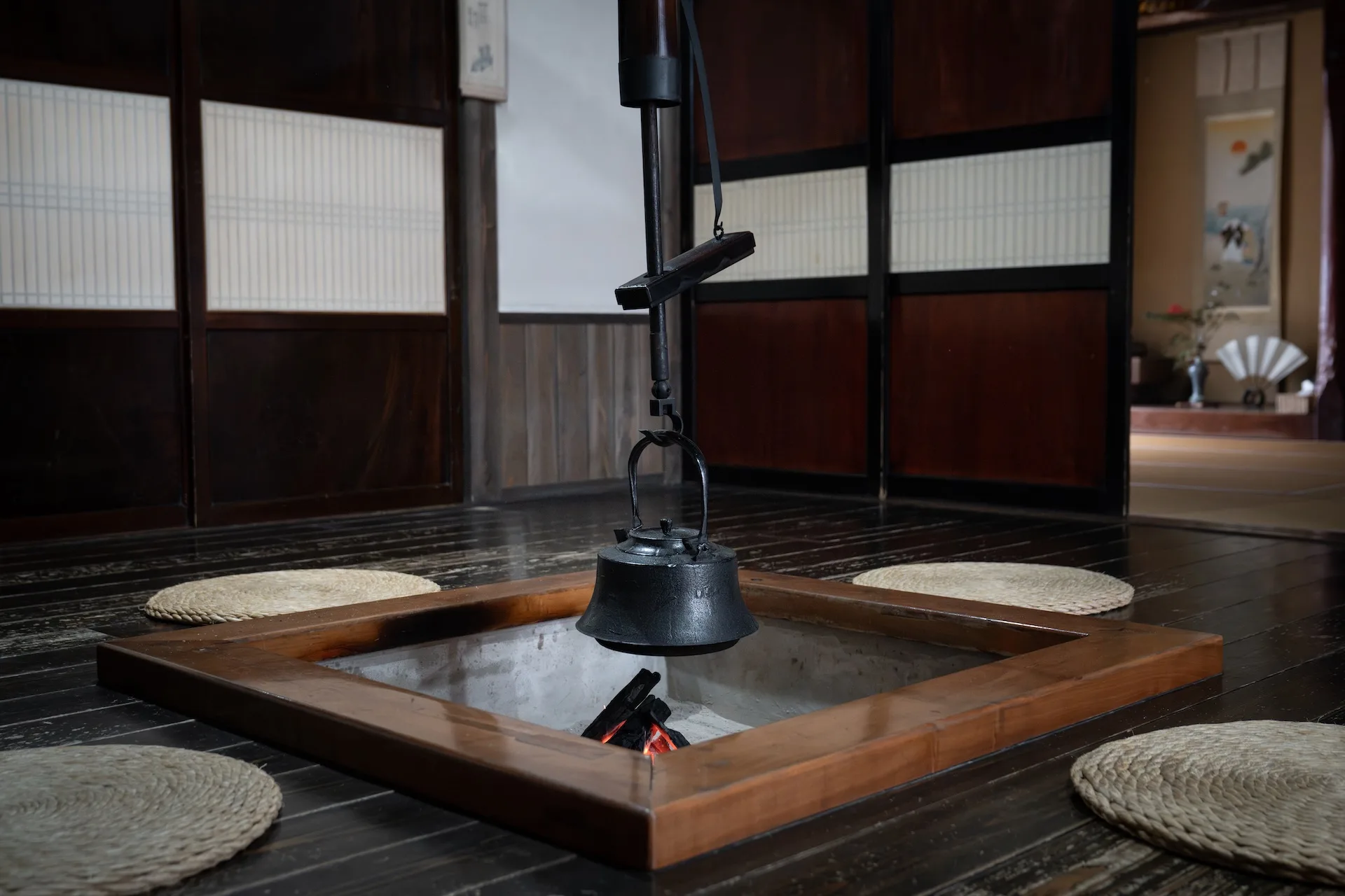


Traditional
Culture


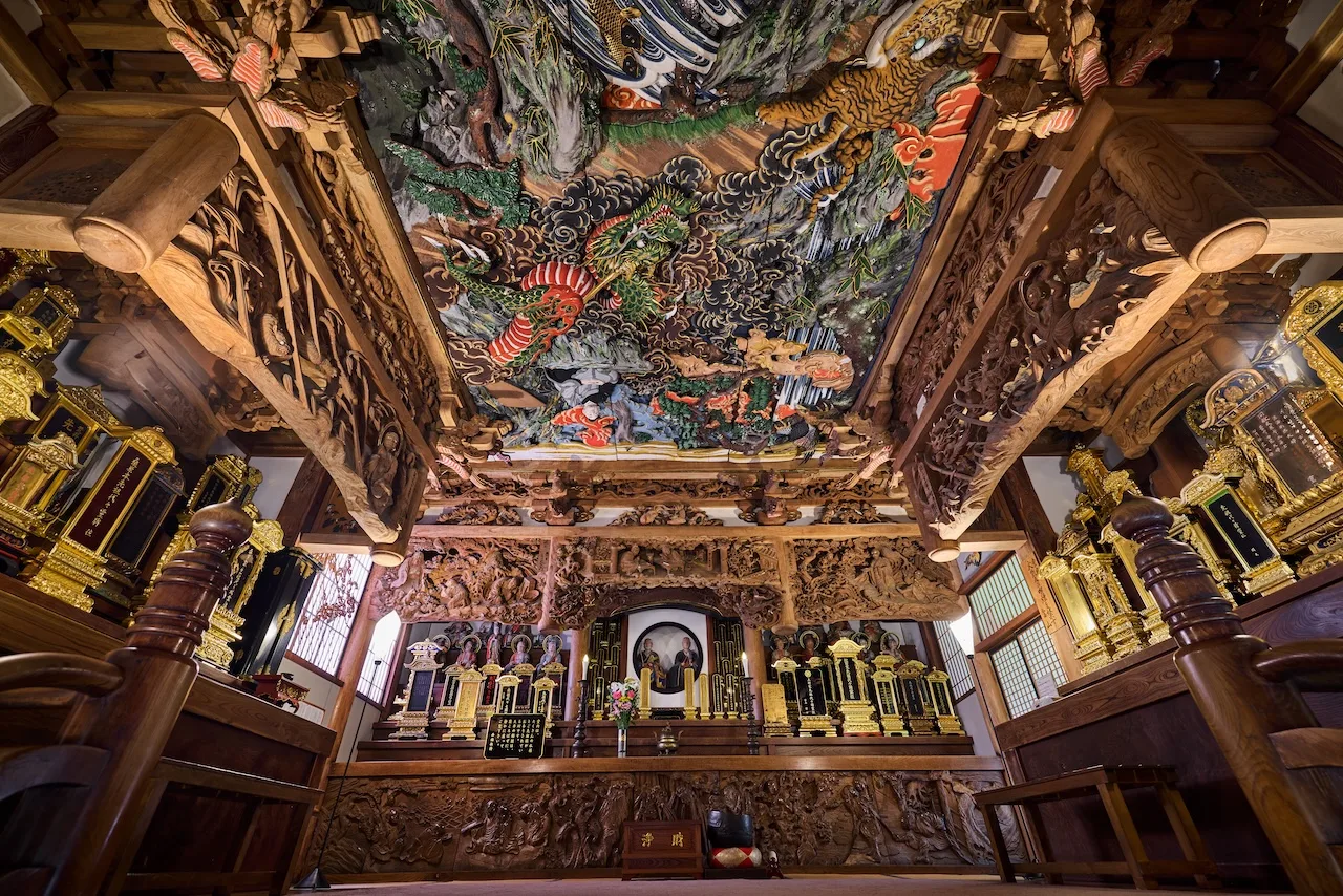
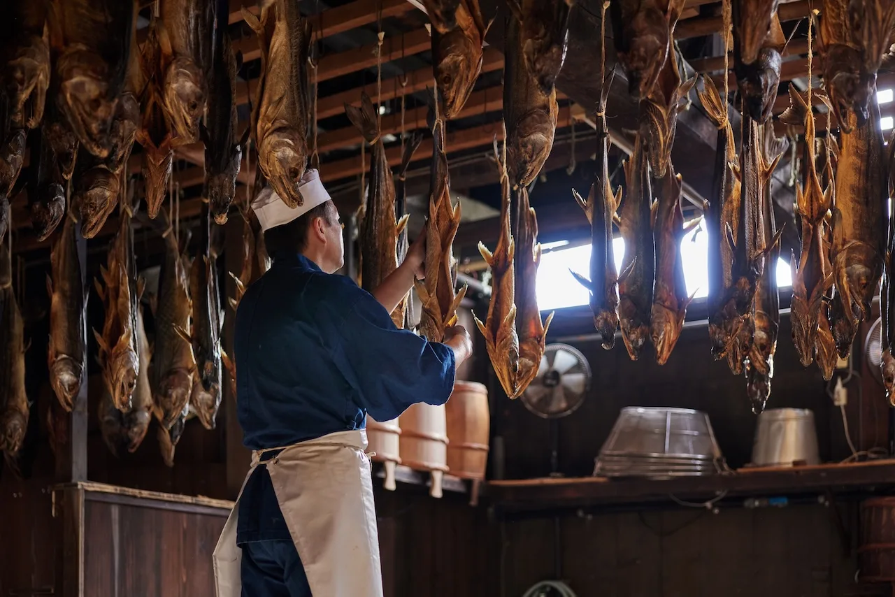
Magical masterpieces from famed Edo-era woodwork artist Ishikawa Uncho, found in temples nestled in the mountains
SEE MORE
The Nagaoka fireworks artisans and pyrotechnic experts weave tales of joy, unity, and peace
SEE MORE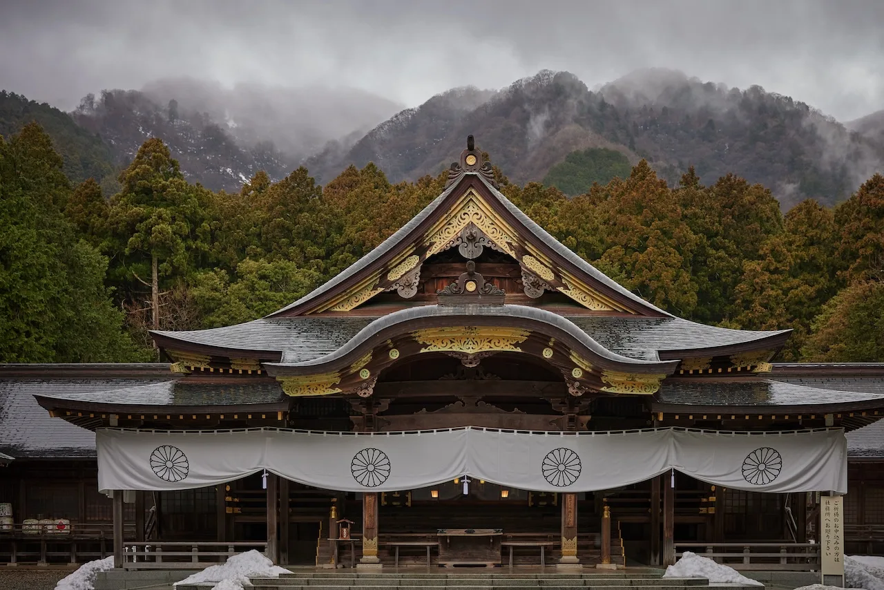
Yahiko Shrine, where Ame-no-Kagoyama-no-Mikoto, the founding ancestral deity of Echigo, dwells
SEE MORE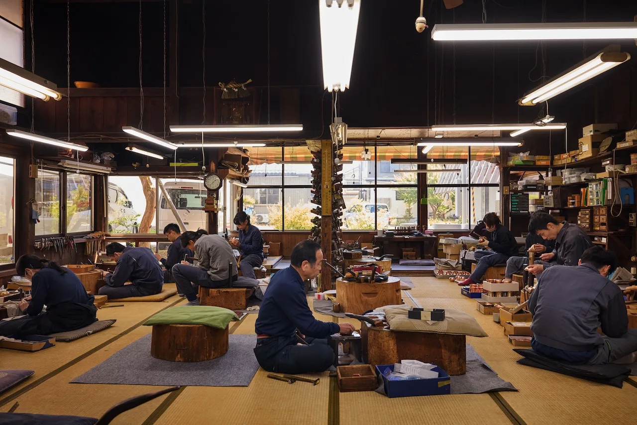

The art of Tsubame Tsuiki, hand-hammered kettles and other metalware, formed from a single copper sheet
SEE MORE
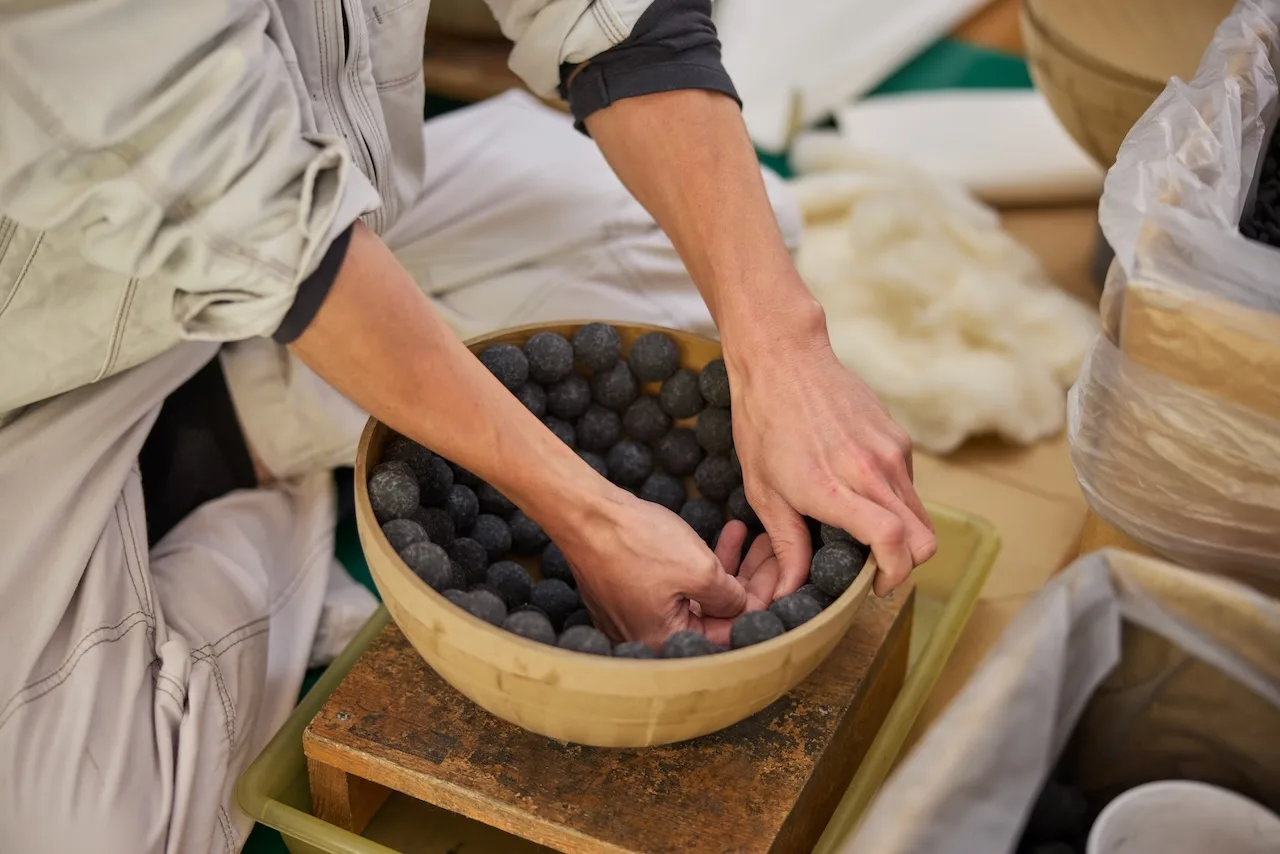
Local craftsmanship evolves and improves while being passed down from generation to generation
SEE MORE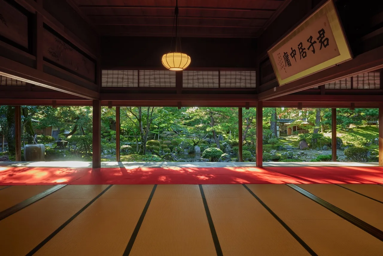
Prosperous farmers who made the rivers their allies and cultivated the area Into Japan's premier rice-producing region
SEE MORE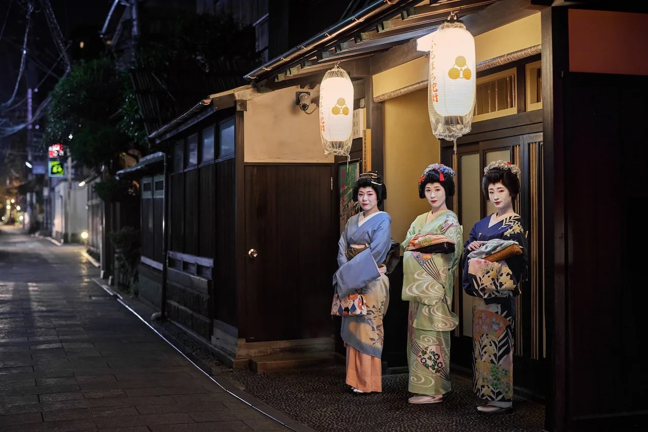

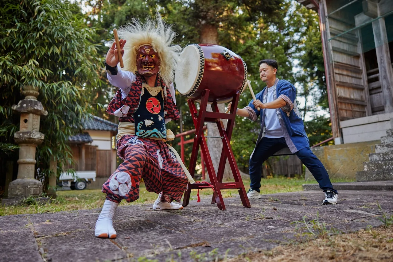
Born deep within the gold mines, an energetic and vigorous deity drumming method called Ondeko was created to drive away evil
SEE MORE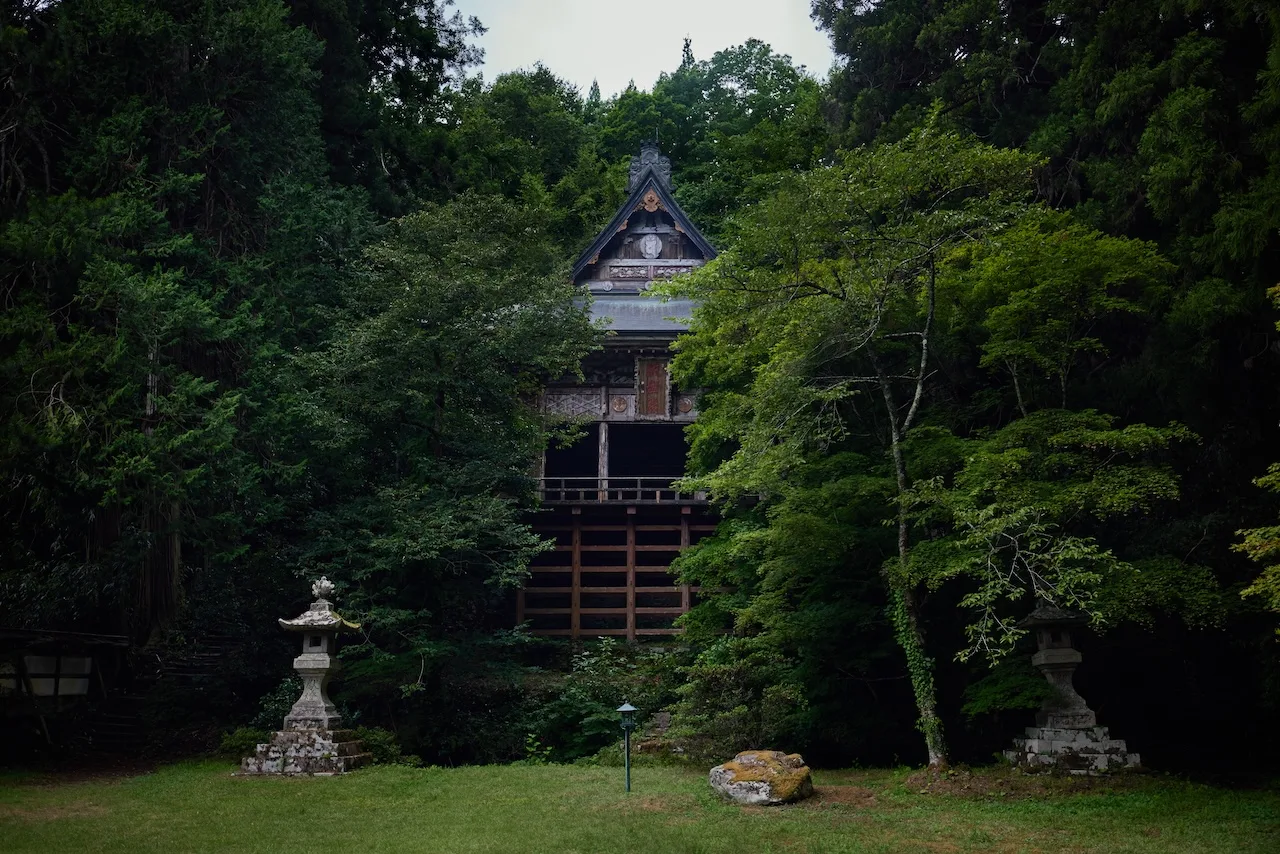
The tranquil and elegant Seisuiji forest temple inspired by Kyoto and built by Sado's aristocratic exiles
SEE MORE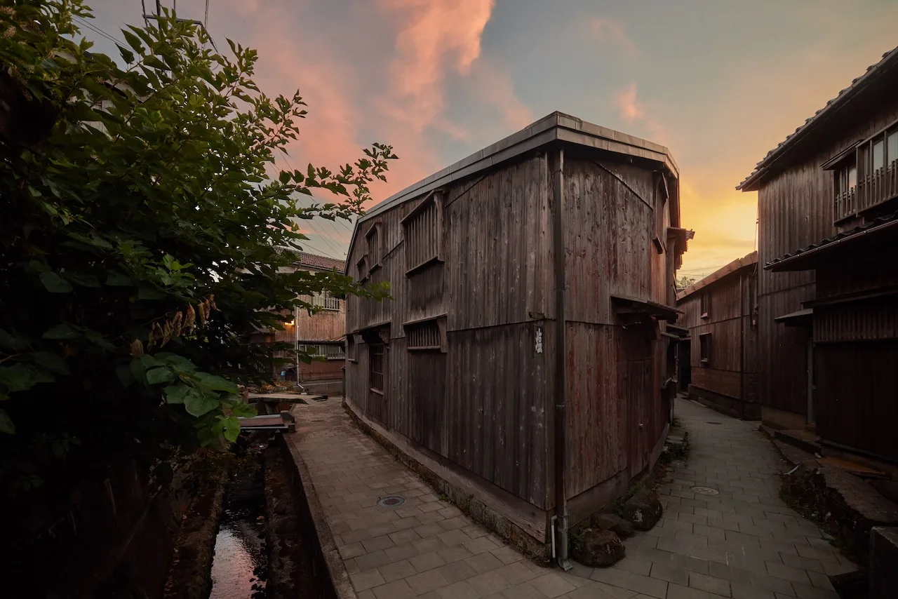
The traditional port town of Shukunegi bears the characteristics and skills of shipbuilding ingenuity
SEE MORE


Sustainability
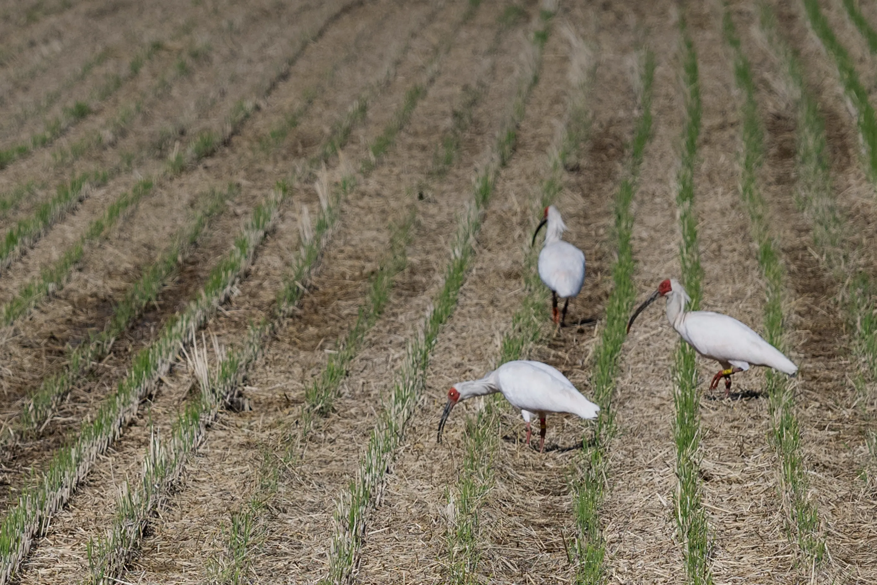
Toki
(Japanese crested ibis), a symbol of coexistence with nature
The toki (crested ibis) was extirpated in Japan for a time, but through conservation and breeding activities on Sado Island, it was successfully reintroduced to the wild where it thrives today. This success has attracted national and international attention as a symbol of environmental conservation and habitat restoration.
Environmentally friendly methods are being proactively adopted into agriculture and forestry with the aim of more sustainable development being implemented across the region. Efforts to coexist with nature and emphasize the future continue to this day.
AI Trip Planner
Let AI (artificial intelligence) suggest the course that's best for you.
By entering conditions such as travel time, as well as your mood and theme, the app will automatically create the optimal tour plan on the spot.
Discover Niigata
Official Travel Guide